Photos of Medicine Bow #32 Radio Beacon, Wyoming, 2006
Photos submitted by Steve Wolff, Wyoming
Mr. Wolff is looking for assistance in restoring this site to it’s original condition.
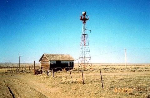
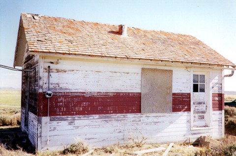
Medicine Bow building looking northeast. Typical of government built beacon sites, this building is 14×22 feet with a 51 foot airway tower. About 2/3 the way up the tower you can see the catwalk that leads out to the windsock. Between the building and the tower extends the sidewalk terminating in an arrow pointing towards the next beacon site, in this case, pointing to Rock River beacon. The whole affair was lighted from overhead so it could be seen at night.
Construction started in 1929 and was completed in 1930. According to the Aircraft Year Book, this site was the last station constructed to complete the entire NYC-SFO Low Frequency Range system. The building in this photo is very solid. It’s two rooms, one for living quarters and the other, a much smaller room, contained the radio gear and later in history, teletype. It was heated with a coal stove and electric power was supplied locally to operate the electrical equipment. In case of power failure a 550 gallon fuel tank (missing) supplied fuel to run a generator. The fuel tank was normally located between the caretakers quarters (above building) and the beacon tower.
Historical note: The Union Pacific Railroad is very close and Highway 30, the first to connect the Midwest with the West is 1 1/2 miles away. The Overland Trail from the 1800’s is very close and of course this Low Frequency Airway. They all converge at this point! Mr. Wolff is looking for assistance in restoring this site to it’s original condition.
______________
The Department of Commerce demanded these sites be kept in pristine condition including mowing lawns. Flight check pilots were always complaining about weeds up against buildings.
Interesting Side Note: The 1935 mystery novel, Obelists Fly High by C. Daly King, features a detailed description of a transcontinental flight in a Boeing 247, with much of the plot action occurring during an emergency bad weather stop at Medicine Bow field.
______________
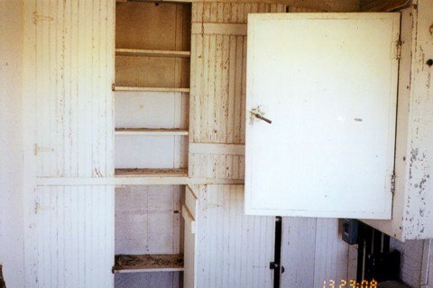 Interior photo. Open cabinet door leads to the junction box located on the north wall. Cabinets would hold fuses, signal flares, and other items.
______________
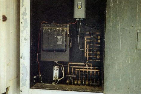 Interior photo. North wall cabinet contains a Westinghouse switch box and circuits.
______________
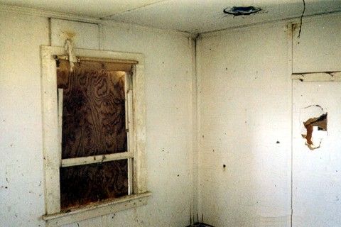 Interior photo
______________
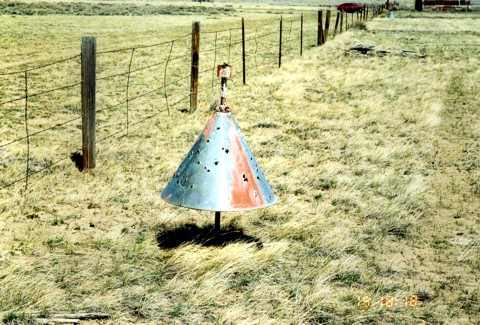 This bullet-riddled boundary cone is located on the west end of the beacon site, inside the fenced boundary
______________
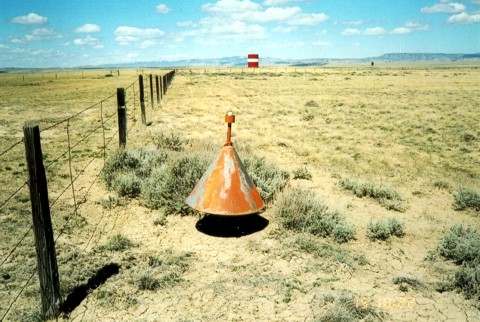 This boundary cone is located on the north end of the beacon site. The red and white tank in the background is the water supply for the city of Medicine Bow.
______________
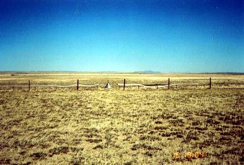 Boundary cone looking south east. The cone and stanchions are in place with wood markers albeit warped and faded.
______________
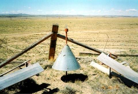 This boundary cone is located in the south east corner of the site and still houses its original 34 watt light bulb
______________
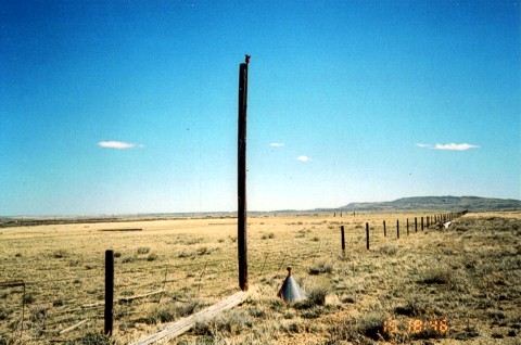 Obstruction pole on the approach end of the runway. Photo is looking north east.
______________
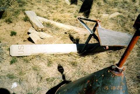 This boundary cone is located in the south east corner of the site. A U.S. concrete property marker can be seen laying on the ground along with the triangular stanchion for supporting 1×16 red and white wood runway markers.