Photos and information submitted by David A. Sbur
If you look closely you can see some faint numbers on the roofs of the sheds for the Portland-Spokane Airway, part of the C.A.M. 32 route. No trace of a concrete arrow could be found on the site.
The airport was listed in the Dept of Commerce listings in 1931 as a DOCILF (Dept of Commerce intermediate landing field). It was also used as an Army Air Force auxilliary field in WW2. It’s pretty sleepy now, the only activity is a local drone company that does it’s testing there.

Department of Commerce intermediate field, site 12, Portland-Spokane Airway. One and one-fourth miles E. Altitude, 850 feet. Irregular shape, 2,400 feet E./W., 2,000 feet NW./SE., sod, level, natural drainage; entire field available. Directional arrow marked “12 P-S.” Pole line to N., beacon tower to NW. Beacon, boundary, approach, and obstruction lights. Beacon, 24-inch rotating, with green course lights flashing characteristic “2” (.._). Aviation fuel. No other servicing facilities. Teletypewriter. Department of Commerce marker beacon, characteristic signal “H” (. . . .), operating frequencies 248 and 278 kc.

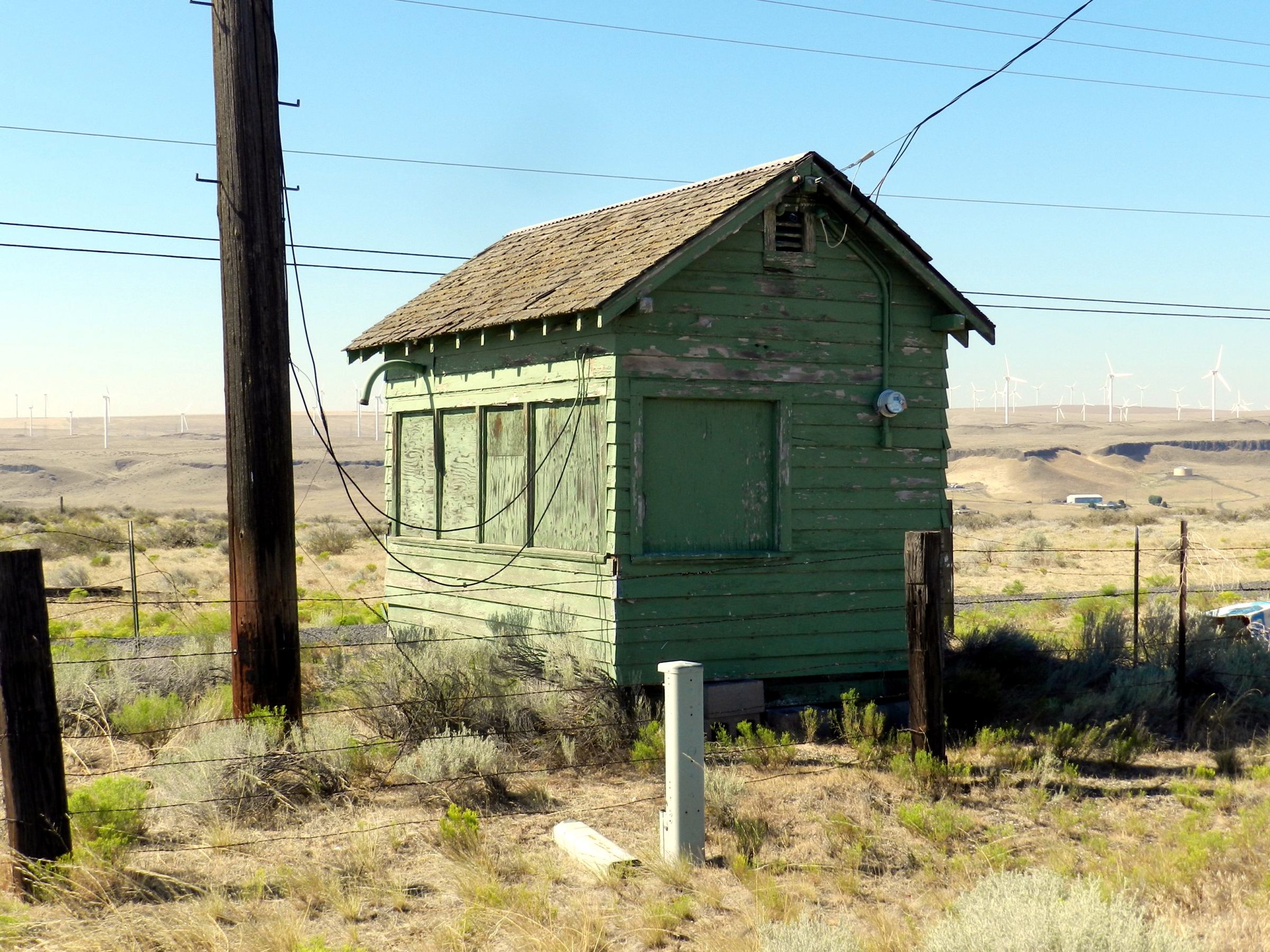
Probably the generator shed.

Inside the generator shed.
Possibly the teletype office
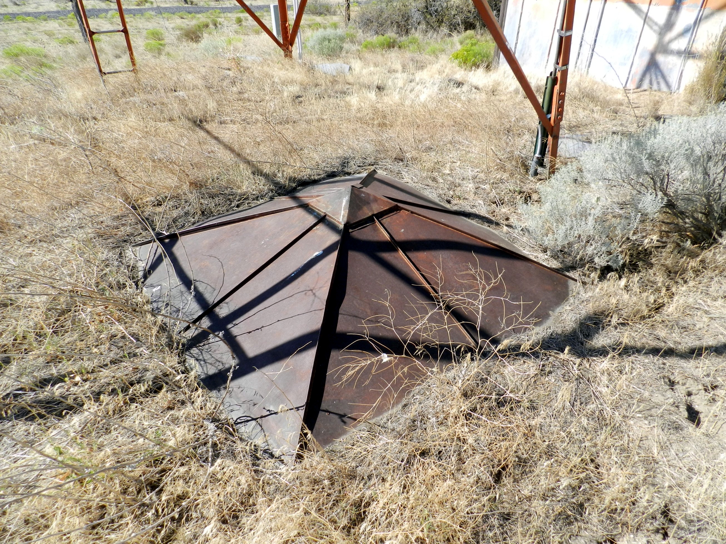
Unknown item
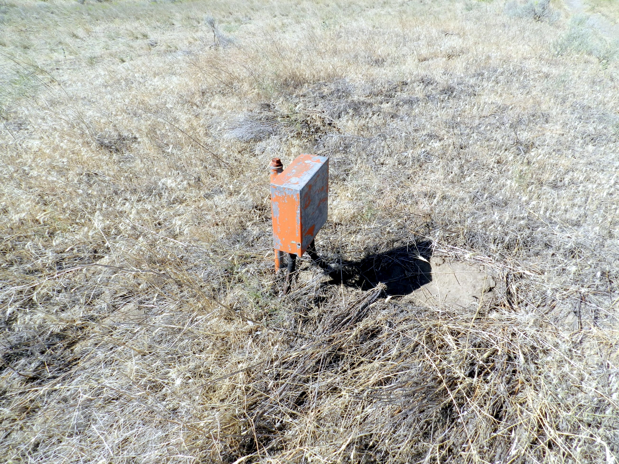
Electrical standoffs on the field along the length of the landing area but offset a few hundred yards.
![]()
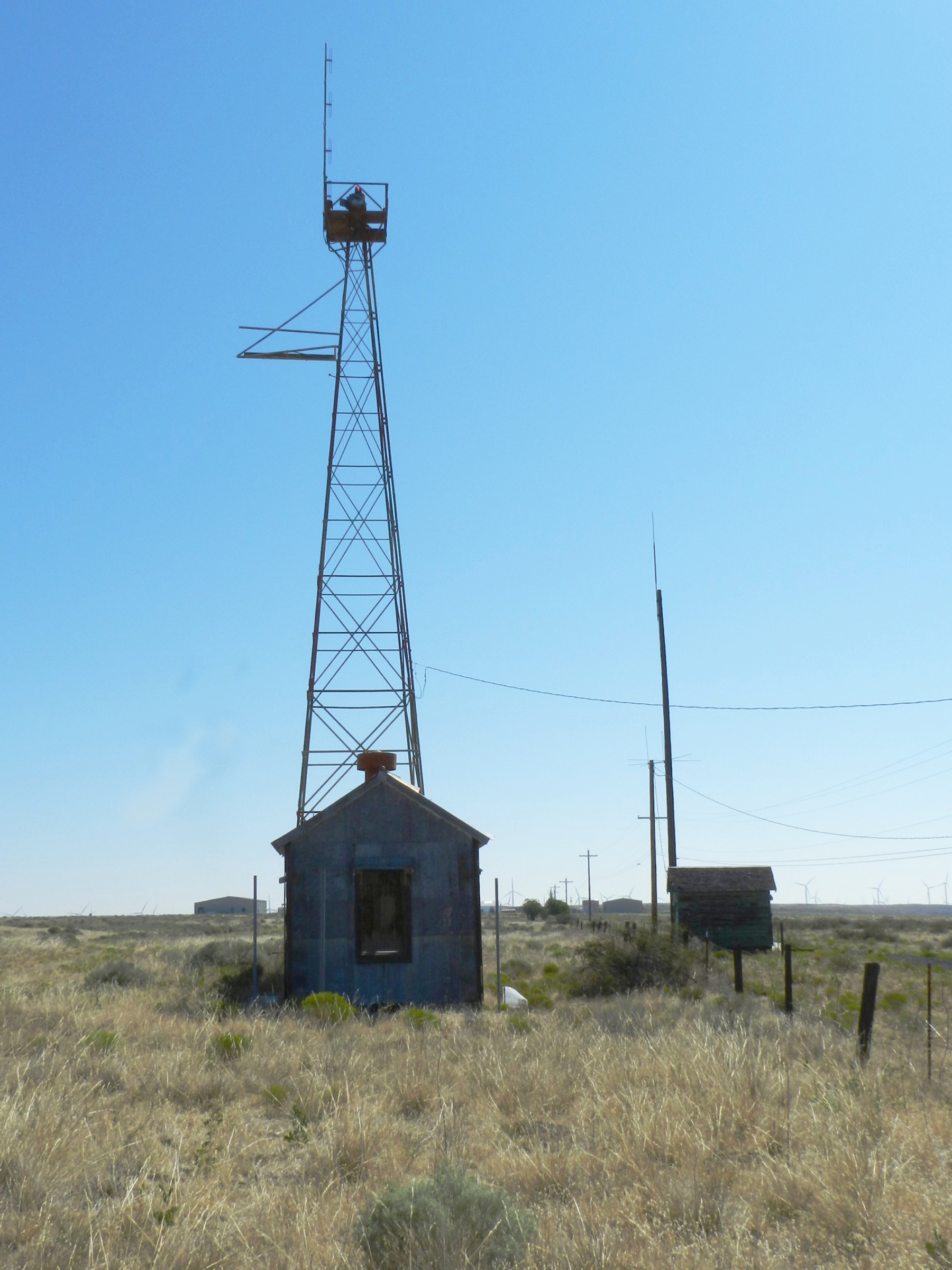
The beacon does not appear to be the original 24″ size, perhaps it is an old course light?
![]()
![]()
![]()