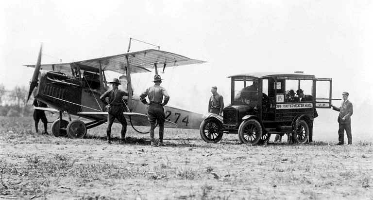
Deadhorse, Alaska is located well above the arctic circle where the north slope of Alaska meets the Arctic Ocean.
Pre- 2000 Facility photos
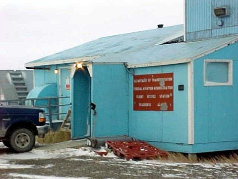
Original Deadhorse FSS facility. Year unknown
Original Deadhorse FSS Inflight position. Year unknown
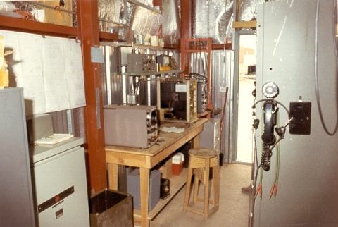
Original Deadhorse FSS equipment room. Year unknown
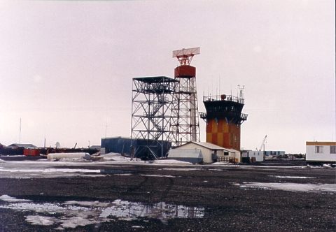
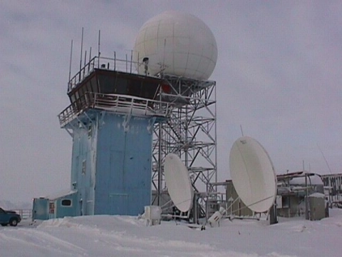
Deadhorse FSS new radar construction in 1986. Old radar in background
Deadhorse FSS in the winter during construction of the new radar dome in July 1977
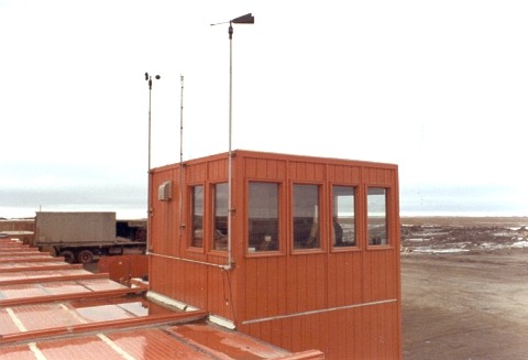
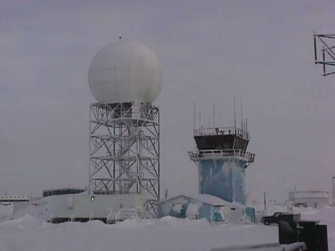
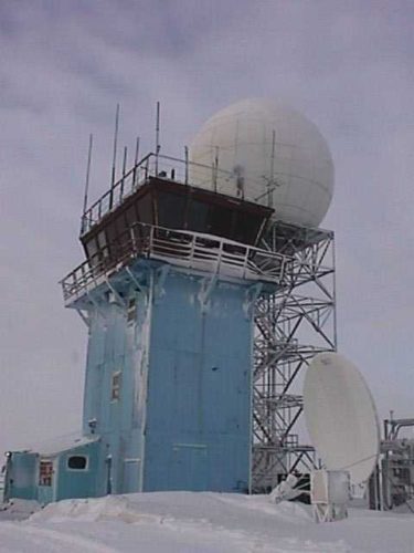
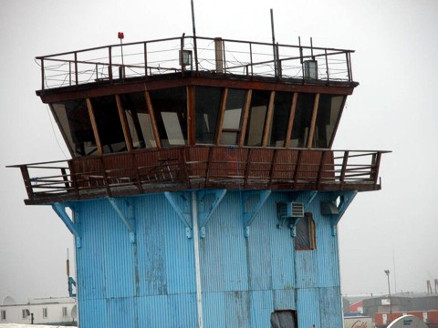
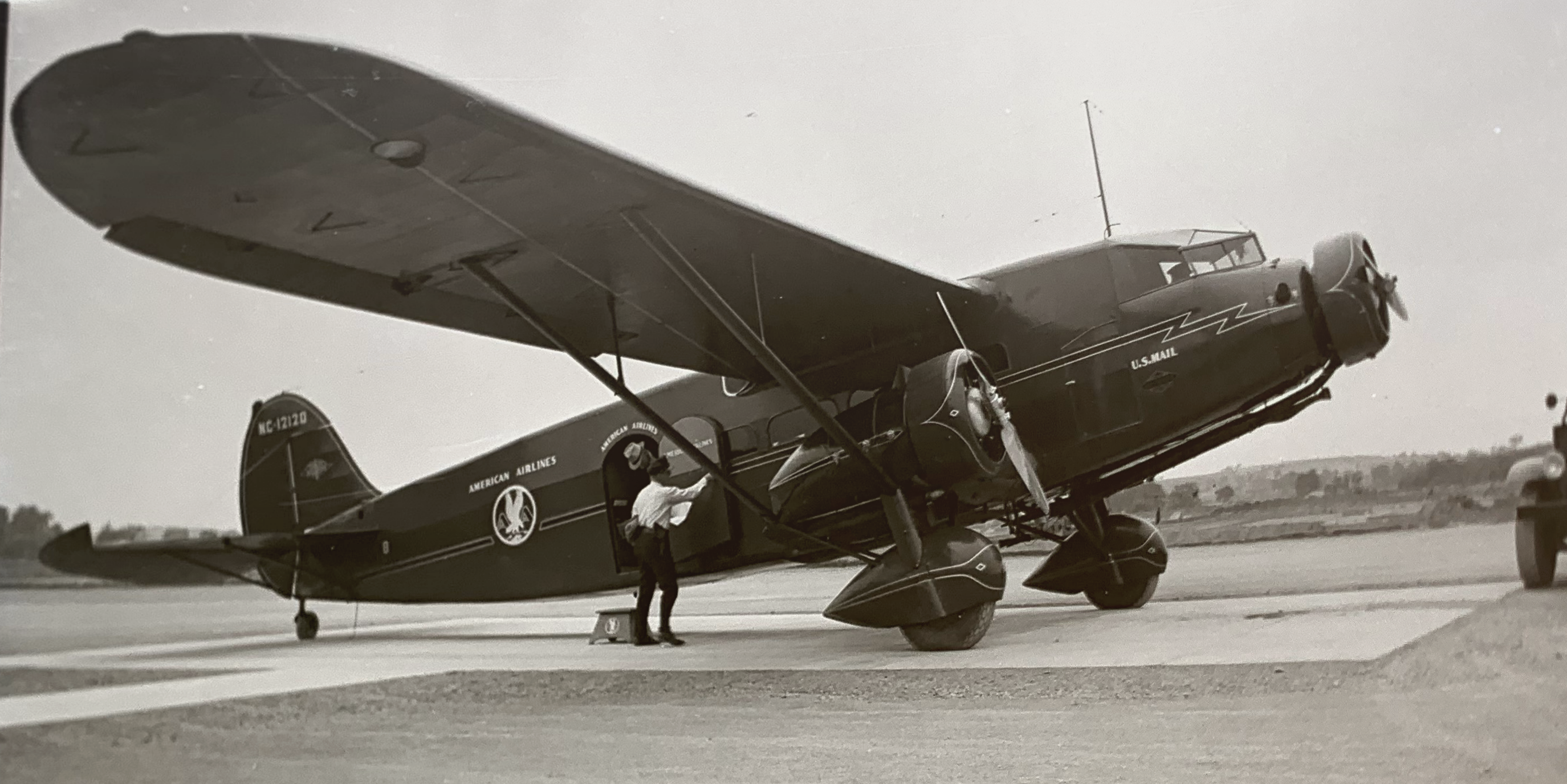
Deadhorse FSS is located in the top floor of this four story tower. The tower was originally built as a temporary air traffic control facility for one year. however, after the tower was closed, FSS moved into the tower and remained for many years. This facility was closed in 2000 and equipment and personnel transferred to a new building
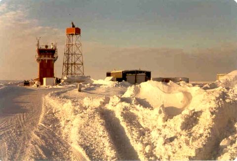
Winter can be very dark. The sun sets in November and does not rise again for 60 days
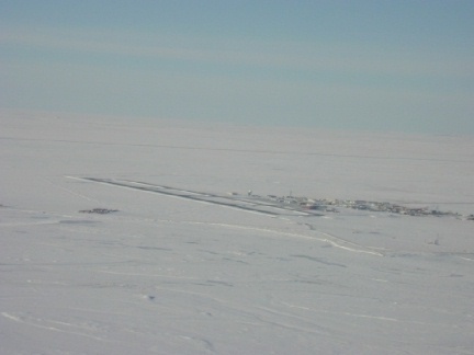
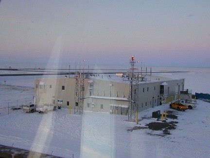
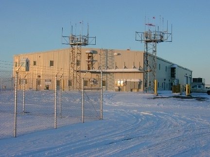
Deadhorse FSS in the winter looking northeast
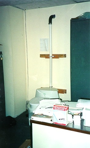
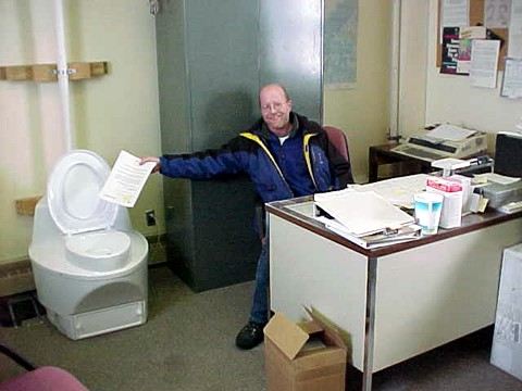
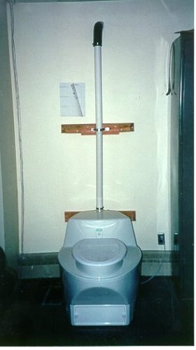
An unusual place for a toilet. This toilet is located on the second floor next to the supervisors desk. On occasion the toilet on the ground floor freezes creating a need for an operable toilet
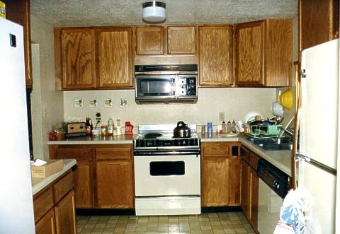
Deadhorse FSS consisting of four floors. The first floor contained the entry and bathroom. It was common for the water and toilet to freeze. The second floor housed the supervisor, the third contained all the radios, tape recorders, and other electronic equipment. The fourth and top floor was the FSS operations area.
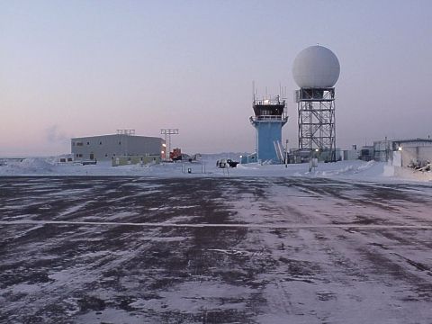
Deadhorse FSS in the winter, looking south
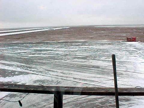
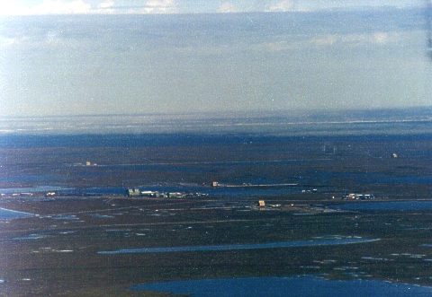
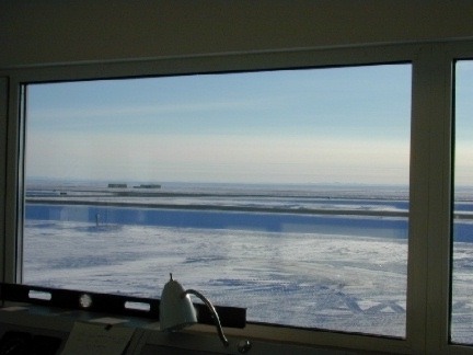
View from the Deadhorse FSS (4th floor), looking south
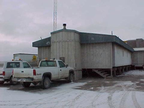
Entrance to the Deadhorse FSS maintenance building, located at the base of the tower, 1998
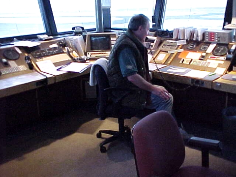
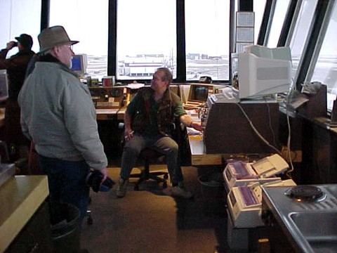
Steve Laabs in the operations area of the old facility
Steve Laabs in the operations area of the old facility
Operations area of the old facility, 1998. Digital Directional Finder located far right
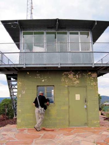
Operations area of the old facility. The large glass windows were designed to sustain 55 mph winds and personnel were required to vacate the top floor when winds exceeded 55. Winds reached as high as 110 mph but never broke the glass, but it certainly could be seen bending.
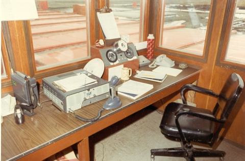
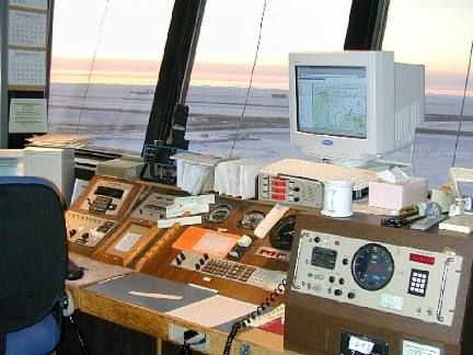
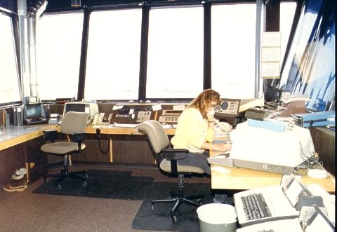
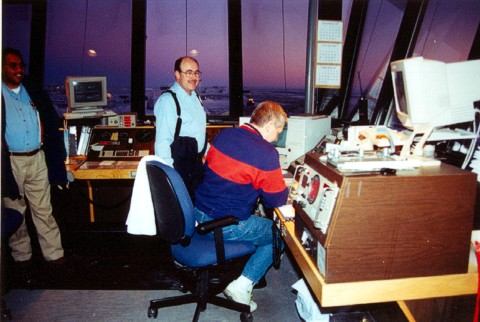
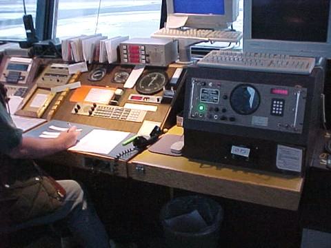
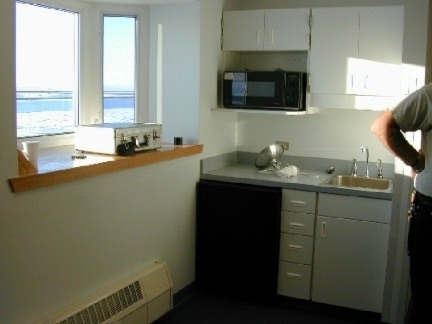
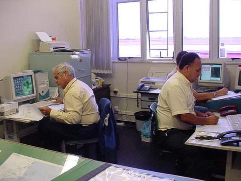
Operations area of the facility, 1998
Inflight position, far right corner, 1998
Inflight position, 1998
Inflight position, 1998
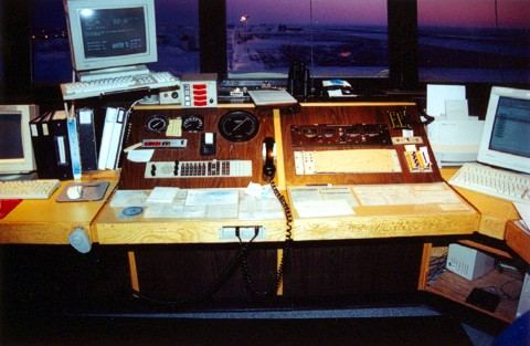
Inflight position and new directional finder, 1998
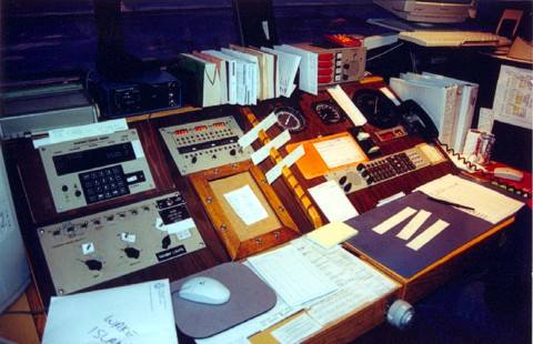
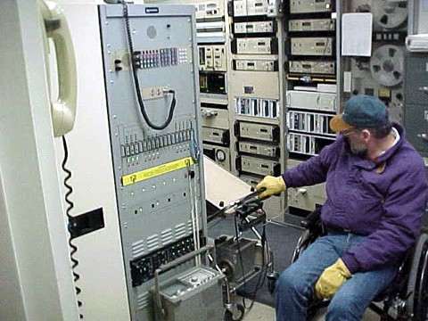
Equipment room located on the third floor, 1998
Equipment room located on the third floor, 1998
Equipment room located on the third floor, 1998
North side entrance to living quarters.
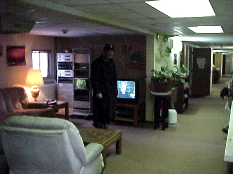
Living quarters prior to moving into the new facility. The living room, bathrooms, and kitchen area are common areas and shared by FSS and AF personnel. Each person has their own bedroom which contains a single bed, TV, and a closet.
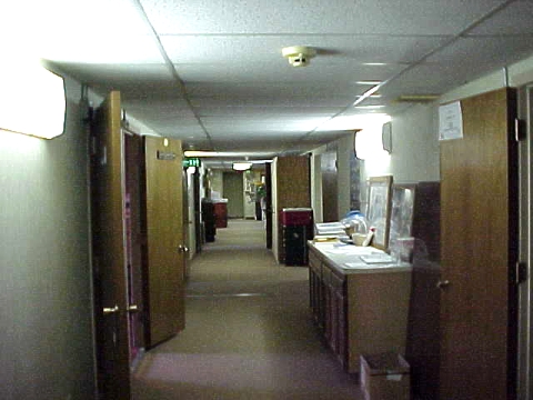
Hallway looking from living room area towards the north exit.
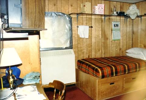
Typical FAA bedroom in the now closed Nana Camp. FAA FSS and maintenance personnel shared this 10 room trailer during their 1-2 week shift at Deadhorse.
Kitchen at the FAA Nana Camp where employees often cooked their own meals.
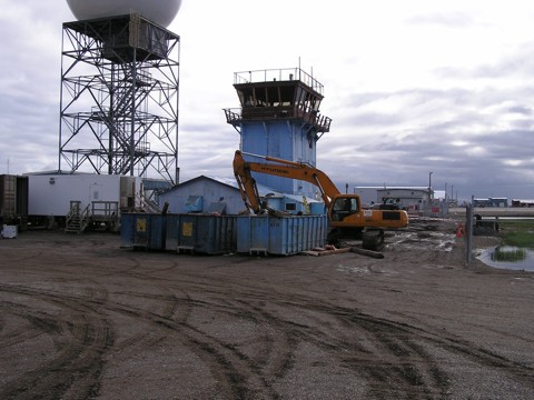
The old Deadhorse facility, June 9, 2004, with fencing now in place around the airport.
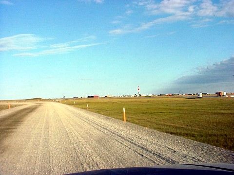
Gravel roads, typical of the Prudhoe Bay area, connect to all the local oil camps. Winter travel on these roads during blizzards can be dangerous as visibility is reduced to zero. On rare occasions, wind-chill temperatures can exceed -100 degrees. The Dalton Highway, another gravel road, is the only road in and out of the Prudhoe Bay area and leads back to Fairbanks, Alaska through the mountains of the Brooks Range. 1999 photo.
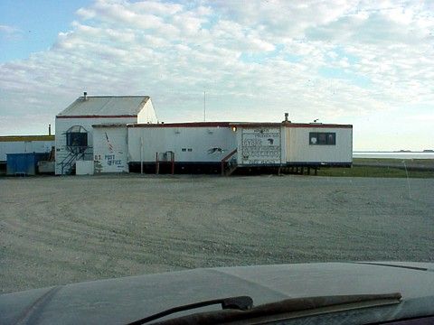
Tyson’s General Store and US Post Office located in Prudhoe Bay. 1999 photo. These are the only few employees who actually live in Deadhorse. The remaining 25,000 Prudhoe Bay workers commute by commercial jets.
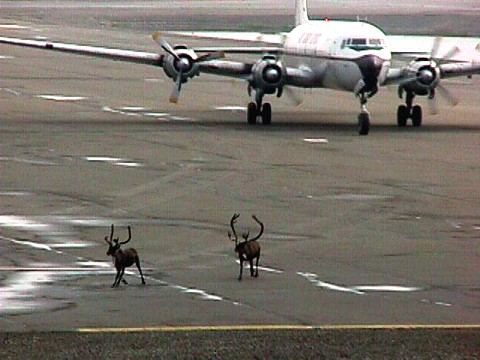
Caribou herding using a DC-6. Caribou on the airport was a common scene in Deadhorse. As Caribou moved through the area they frequently crossed the airport. and caused many air traffic delays 1999 photo.
Spring time in Deadhorse, Alaska
Arctic Ocean. During the summer months you can see the ice pack just beyond the shoreline as in this photo.
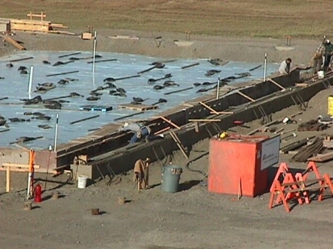
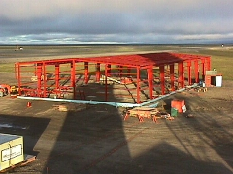
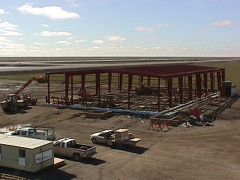
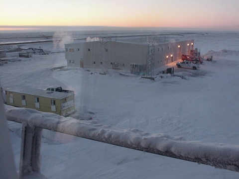
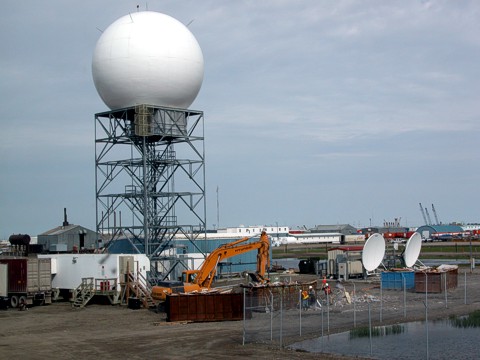
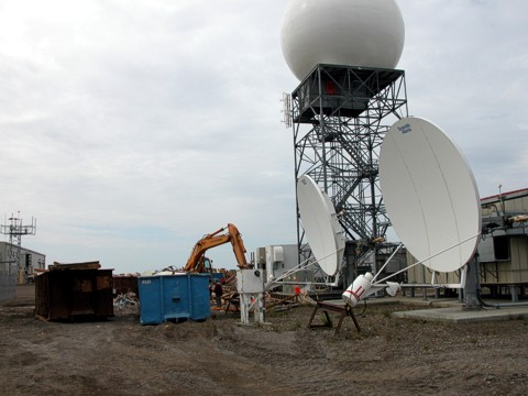
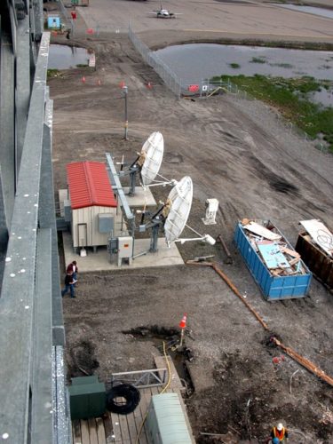
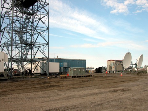
Below: Construction of the new Deadhorse Flight Service Station underway in the year 2000
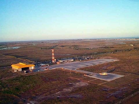
View looking NE from the Inflight position facing the runway
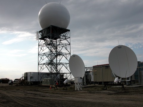
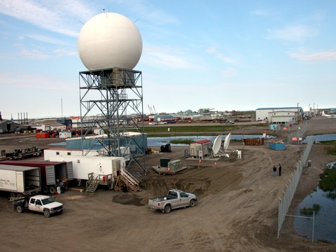
A few more weeks and the sun will rise over the new facility, located far left. Operations commenced December 21, 2000.
The new FSS facility will house the State of Alaska airport personnel and equipment as well as the new Deadhorse FSS (SCC) and living quarters. The FSS is located on the second floor.
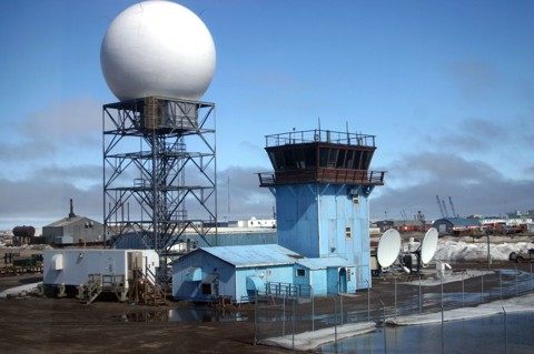
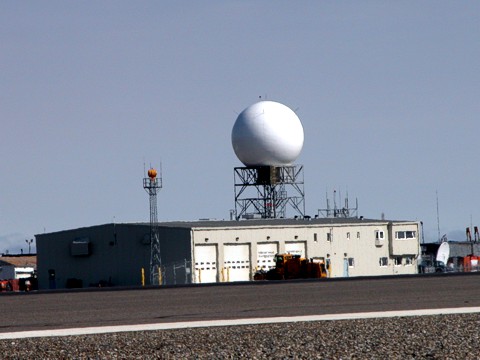
The newly completed Deadhorse FSS facility. Opened for business on December 21, 2000.
Summer photo of the new Deadhorse FSS. July 13, 2000
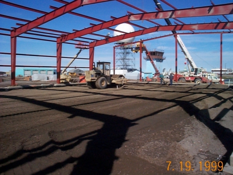
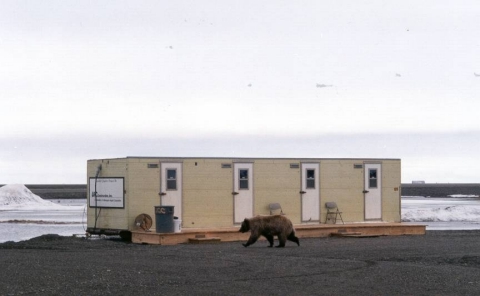
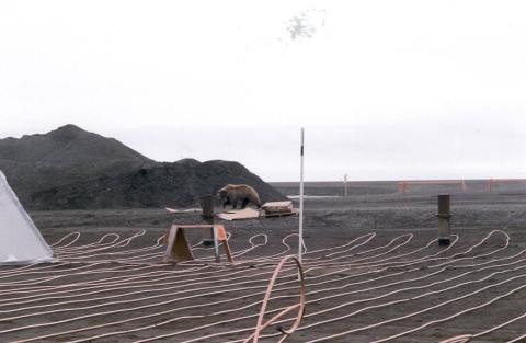
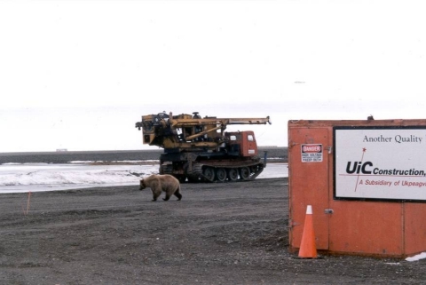
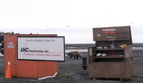
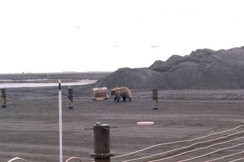
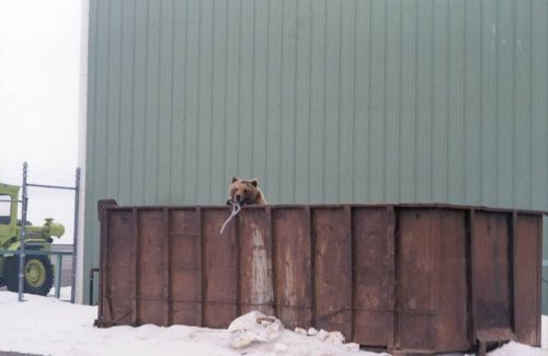
Below; Mr. Bear checking out the new FSS facility under construction in early summer of 1999
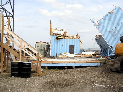
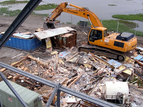
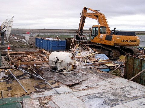
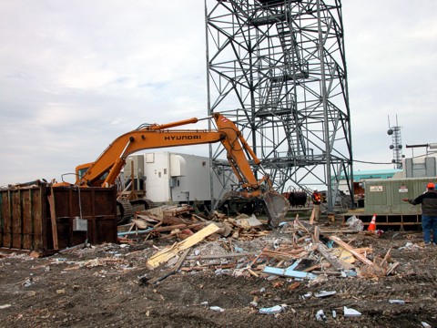
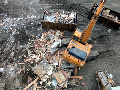
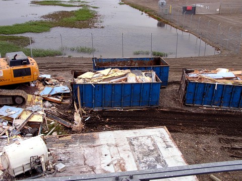
Destruction of the Deadhorse Tower/FSS, July 13, 2004. Photos are in order of the destruction process, from left to right. Top row of photos are the last view from the tower prior to destruction.
São Tomé Lighthouse Flight Information Service, Rio de Janeiro, Brazil, 2003.
The São Tomé Lighthouse Flight Information Service is located on the Cape of São Tomé and is staffed with six radio operators and a supervisor. This is a helicopter airport that supports the oil platforms in Campos-Rio de Janeiro basin. Operations commenced on June 13,1999. São Tomé is a small coastal city in the State of Rio de Janeir.
The lighthouse is an important geographical mark not only for boats and ships, but also for the helicopters that fly to the oil & gas offshore platforms of Petrobras Company, in Campos Basin.
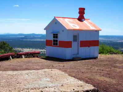
Restored Oso Ridge LA-A Airway Beacon Light Tower Generator Site 61, 2011 The renovated exterior of the Oso Ridge generator hut, LA-A Site 61, completed on June 16, 2011. The cement slab in foreground is where the fire lookout tower stood in the previous images.
Submitted by Steve Owen
Oso Ridge Fire Lookout and LA-A Airway Beacon Light Tower, Site 61, New Mexico, 2010 In 2011, the above generator site began undergoing restoration by the USDA-Forest Service “Passport In Time” program.
Submitted by Steve Owen
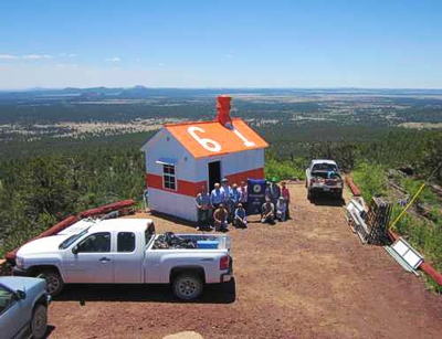
Oso Ridge Fire Lookout and LA-A Airway Beacon Light Tower Intermediate, Site 61, New Mexico, 1944 Restoration volunteers are with the USDA-Forest Service “Passport In Time” program. Coordinates are: 35° 2’17.30″N 108° 6’59.70″W
Photo by Craig Fuller
Looking uphill towards the beacon generator site with the fire lookout tower in the background.
Photo by Craig Fuller
Beacon generator site number 61 prior to start of restoration
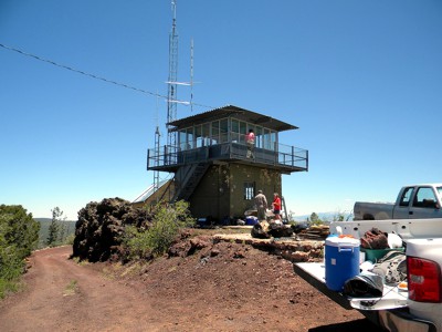
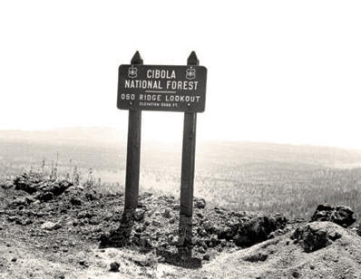
Cibola National Forest, Oso Ridge Fire Lookout tower Elevation 9,098 feet with the old Oso Ridge generator shack to the right prior to restoration.
Submitted by Steve Owen
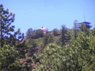
Oso Ridge, New Mexico, fire lookout tower, elevation 9,098 feet, 2011
Oso Ridge, New Mexico, fire lookout tower, 2012
Photo by Craig Fuller
“Passport In Time” volunteers working on site Oso Ridge, site 61 restoration.
Photo by Craig Fuller
Looking towards beacon generator site number 61 with the fire lookout tower in the foreground.
Photo by Craig Fuller
Thanks to the US Forest Service, “Passport In Time” volunteers who were involved with the restoration of generator hut, LA-A Site 61, completed June 16, 2011.
Photo by Craig Fuller
Restored Oso Ridge LA-A Airway Beacon Light Tower Generator Site 61, 2011
The renovated exterior of the Oso Ridge generator hut, LA-A Site 61, completed on June 16, 2011.
Photo by Craig Fuller
“Passport In Time” volunteers working on site Oso Ridge, site 61 restoration
Cibola National Forest, Oso Ridge Fire Lookout, elevation 9,098 feet
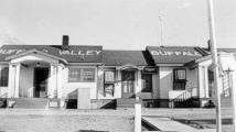
Buffalo Valley Radio and Radio Beacon, Nevada, 1942
The left side of the building consisted of living quarters. The radio station was located in the center and the right side was temporary housing or bachelor quarters. The building on the left was moved to Battle Mountain and still in use today (2007) as an FAA office.
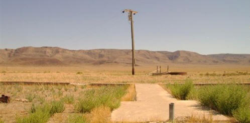
COMPARE PHOTOS: Below is the same photo perspective taken by Robert Pearce in August 2007. The sidewalk leading up to the entrance is still there but the old buildings are no longer there. The short vertical pipe in the lower right corner is the stub of the flagpole in the above photo, far right side.
Buffalo Valley Radio Lat/Long: 40°23’55.36″N 117°19’23.79″W
______________
Submitted by Robert E. Pearce
Buffalo Valley Radio and Radio Beacon, Nevada, 1942
This is the location where the Buffalo Valley Radio Station was located in the 1940’s.


