![]()
Submitted by Dave Morris
Golconda Aerial Beacon Site, Nevada, 2012
Location: 40.925072N 117.398094W, near Interstate 80
![]()
Submitted by Dave Morris
Mote Aerial Beacon Site, Nevada, 2012
Location: 40.7401N 117.0636W, near Interstate 80
![]()
Submitted by Dave Morris
Pumpernickel Aerial Beacon Site, Nevada, 2012
Location: 40.9094N 117.2857W, near Interstate 80
![]()
Submitted by Dave Morris
Poker Brown Camp Aerial Beacon Site, Nevada, 2012
Location: 40.9094N 117.2857W, near Interstate 80.
Note: The name of this location is unknown but the submitter used the name of the closest road to the site location.
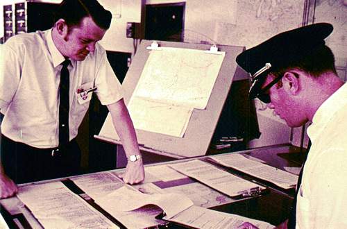
 James Wohlers at the Preflight Briefing Position
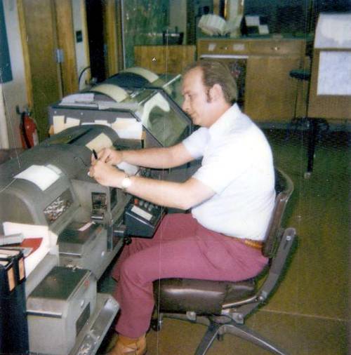 Robert Clark sending a message on the teletype
 Virginia Volk, FSS employee
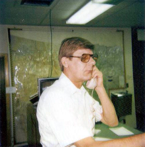
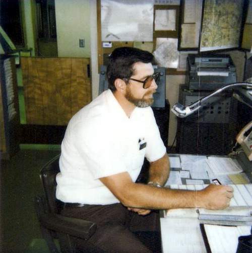 Jon Preston at the Inflight Position
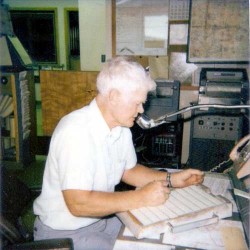 Bill Leffler at the Inflight Position
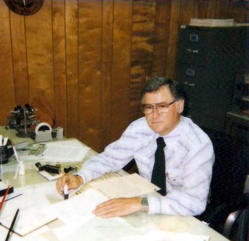 Bill Preuit at the Chief Desk
 The pilot weather briefing counter where all airline pilots that arrived and departed Omaha were briefed on the weather
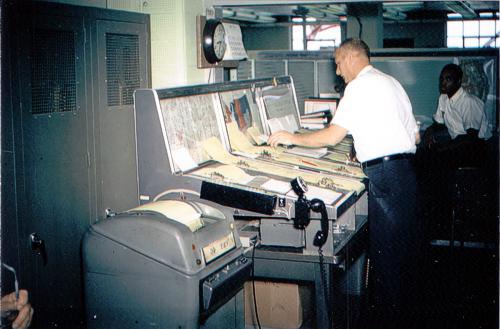 The updated telephone weather briefing counter
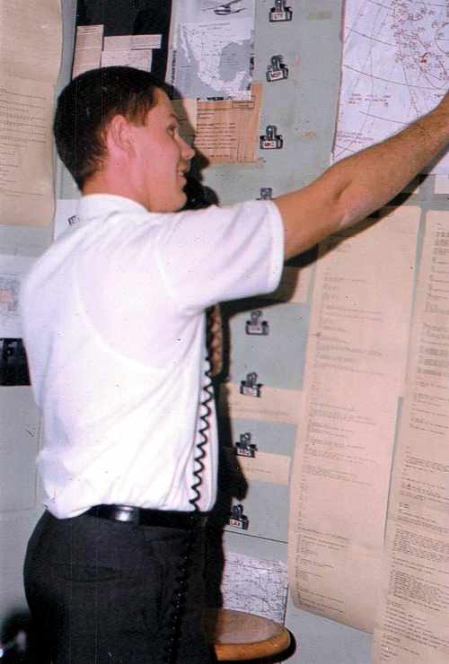 The pilot weather briefing position using teletype paper and the first faxed weather charts
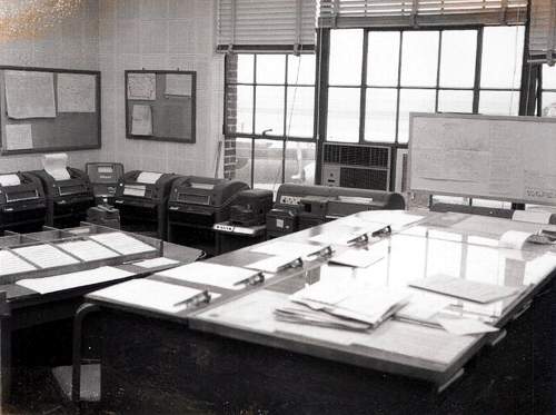 The flight Data and teletype positions with a DC-6 aircraft parked outside the window
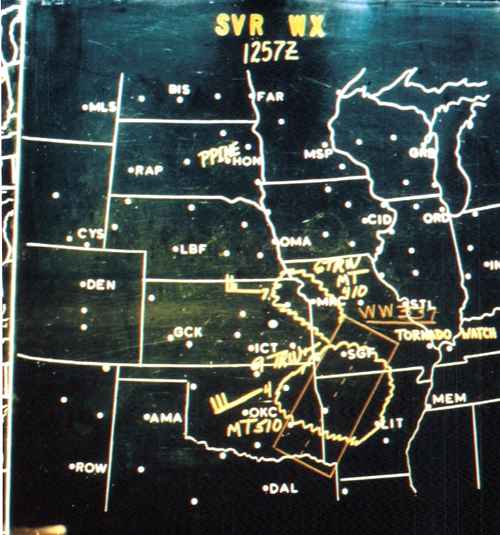
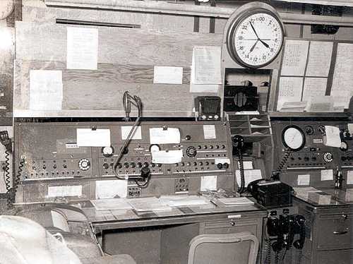
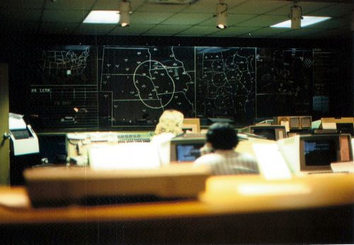 Photo taken standing at the pilot weather briefing counter looking over the Preflight and Inflight positions at the panoramic board, which was manually updated every hour. The panoramic board displayed the big picture of the weather, as well as VFR, MVFR, and IFR conditions.
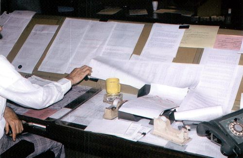 The Preflight pilot weather briefing position
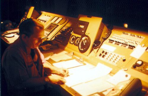 The Inflight Position
 North Platte FSS employees (L-R), Doyle Werner and John Totten at the Inflight Position
 Terry Hickey at the Inflight Position
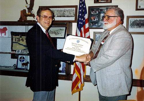 Curtis Alms, Hub Manager, presenting a retirement plaque to Newt Lippet, the last Air Traffic Manager at North Platte FSS
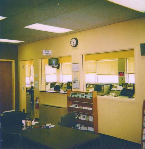 Photo taken from inside the operations area looking into the Inflight room