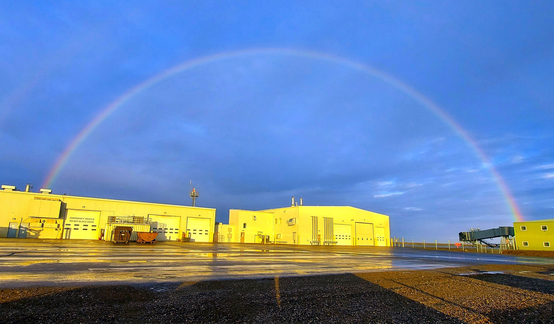
Deadhorse (SCC) Combined FAA, FSS, and State of Alaska Work and Sleeping Facilities
Photo taken of the backside of the building at 3 AM, June 2022.
Deadhorse (SCC) Combined FAA, FSS, and State of Alaska Work and Sleeping Facilities
Photo taken of the backside of the building at 3 AM, June 2022.
Photos submitted by Steve Laabs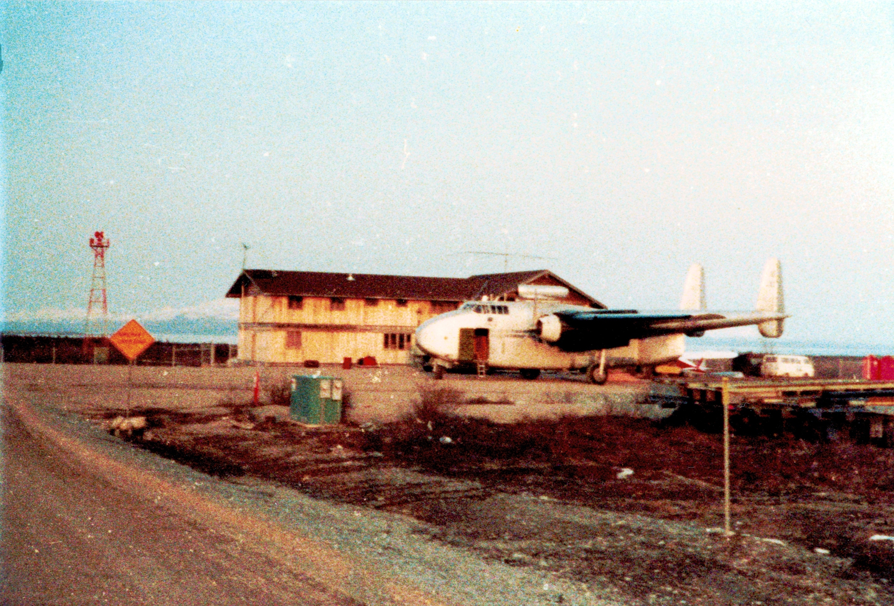
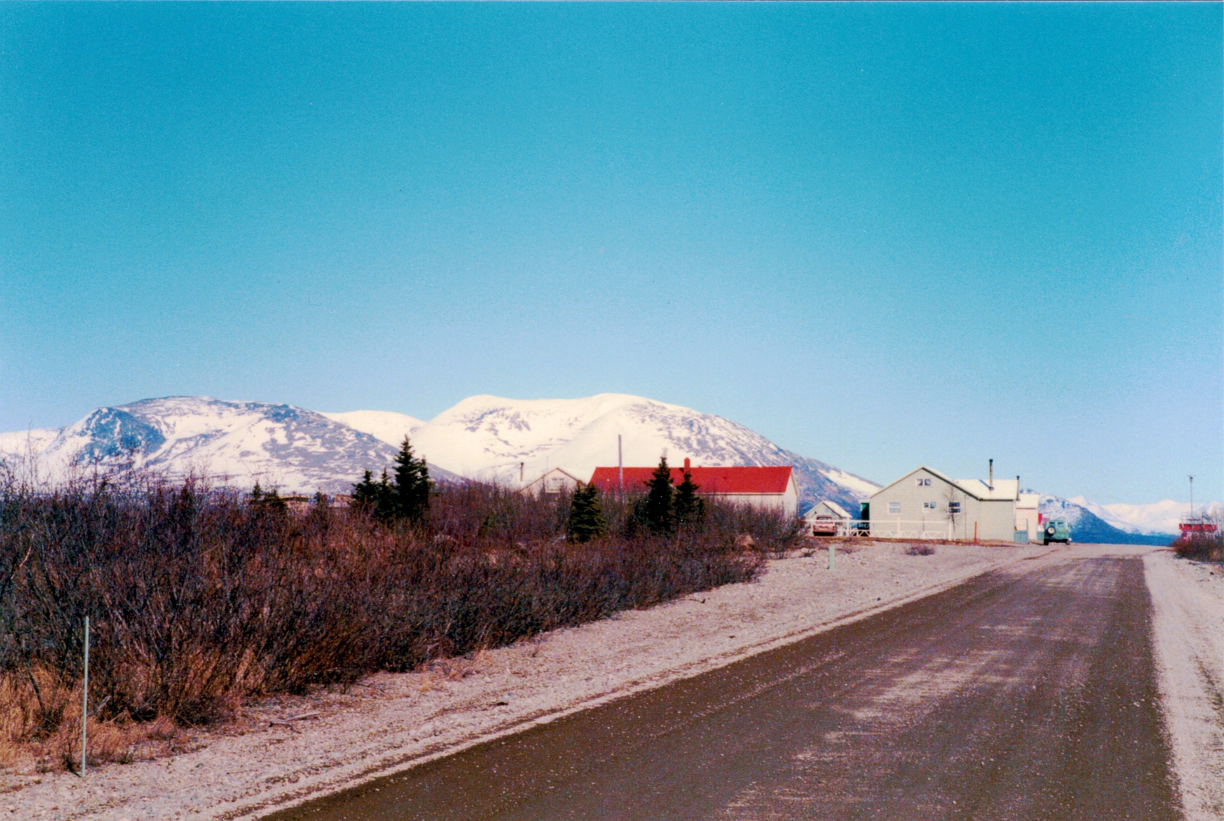
Iliamna ‘Fishing Shack’, Summer 1984
The ‘Fishing Shack’ a fishing lodge located behind the Iliamna FSS with a Fairchild C-82 (with JATO assist on top) parked in front of the shack.
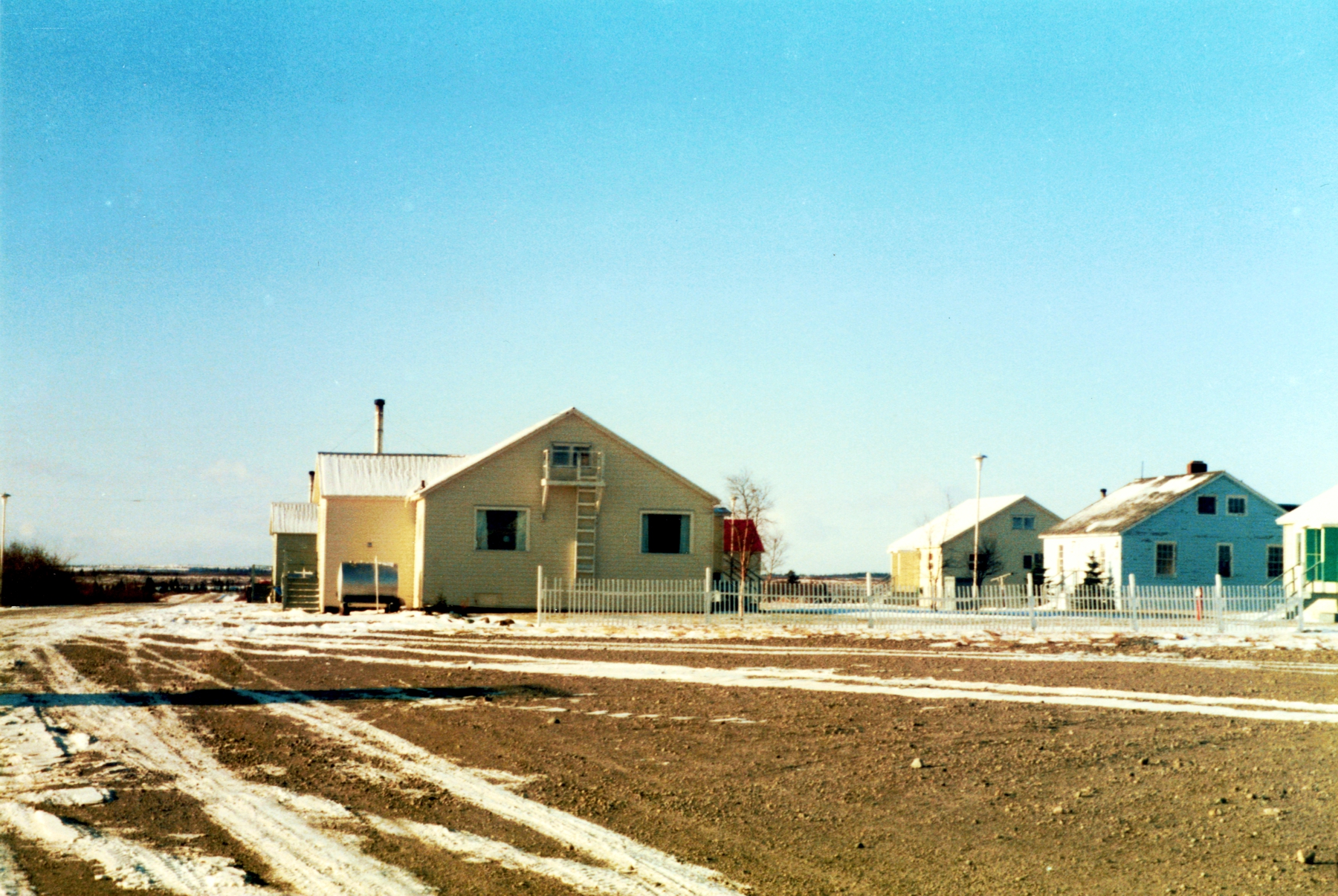
Iliamna FSS Housing Compound, Winter 1985
Iliamna FSS Housing Compound, Winter 1985
Iliamna FSS Housing Compound, Spring 1986
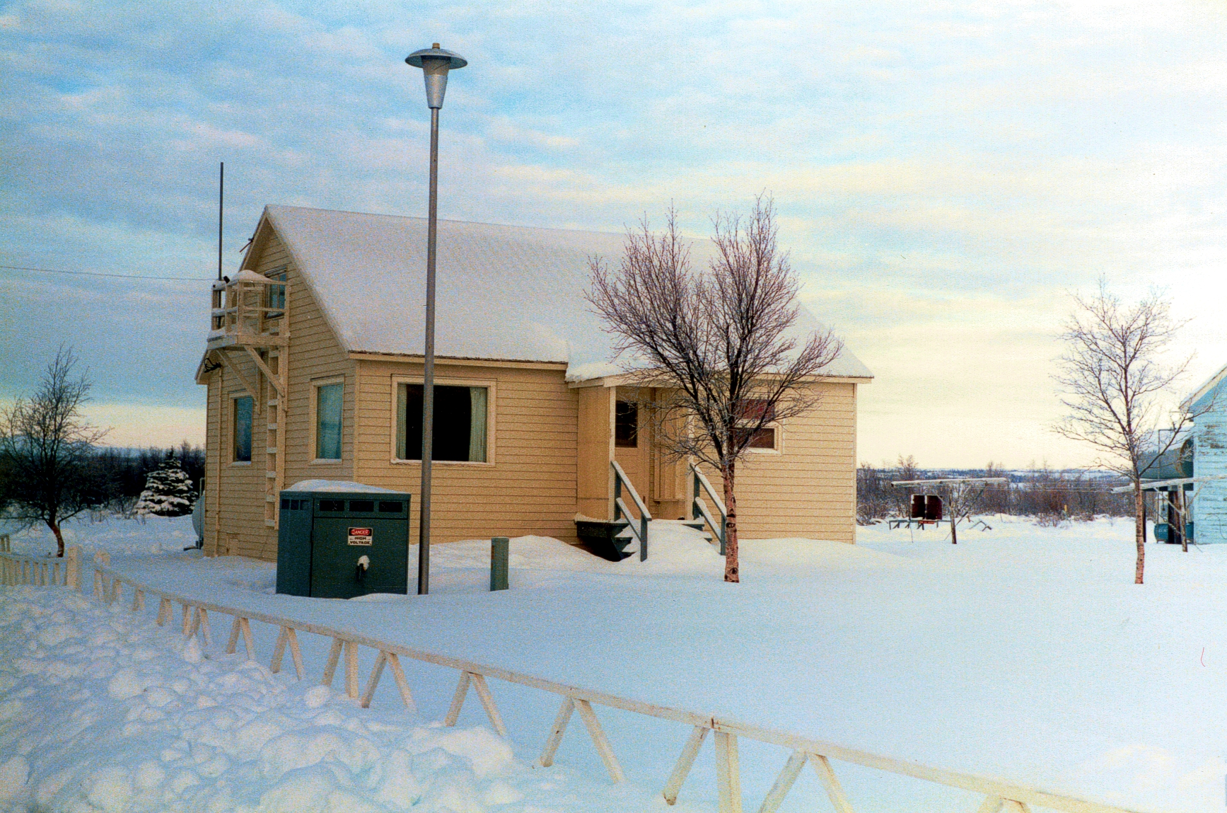
Iliamna Typical Type 42 FSS Housing, Winter 1986
Iliamna FSS Housing Compound, Spring 1987
Iliamna FSS Housing Compound, Spring 1987
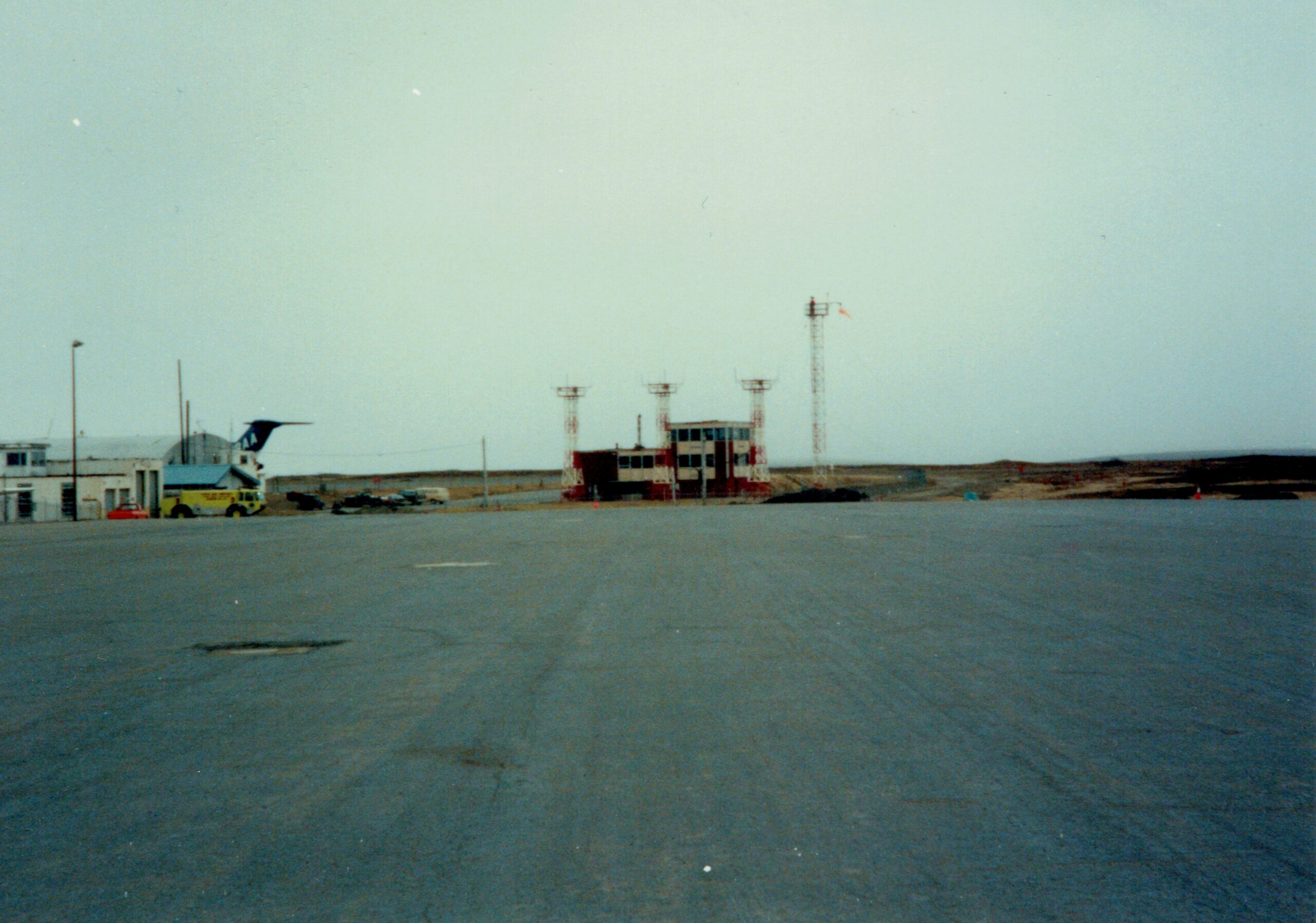 Photo submitted by Steve Laabs
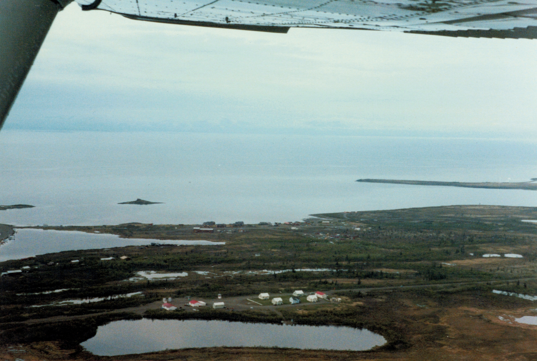
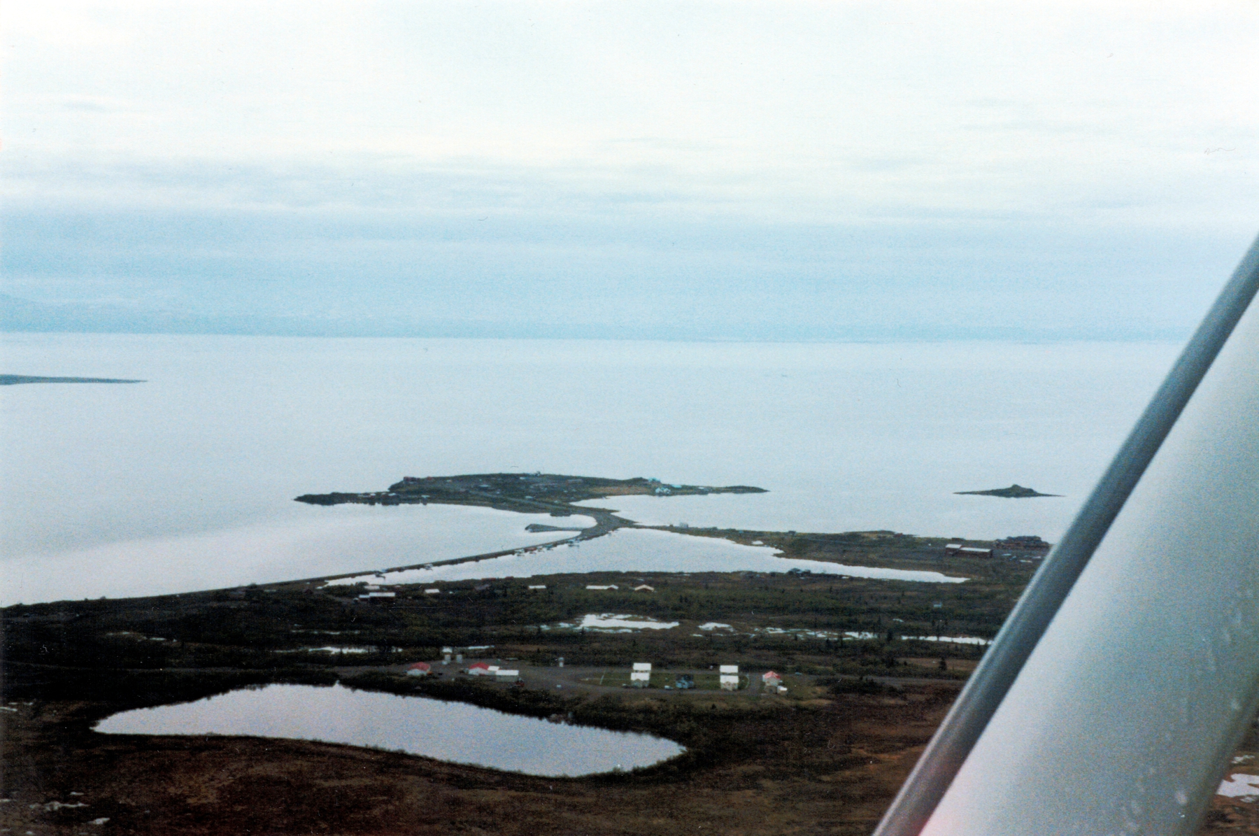
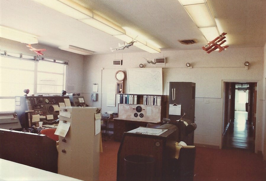
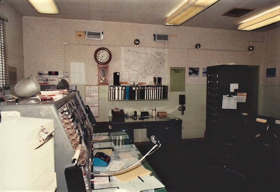
Cold Bay FSS (CDB), Alaska, May 1992
FSS facility, center of photo.
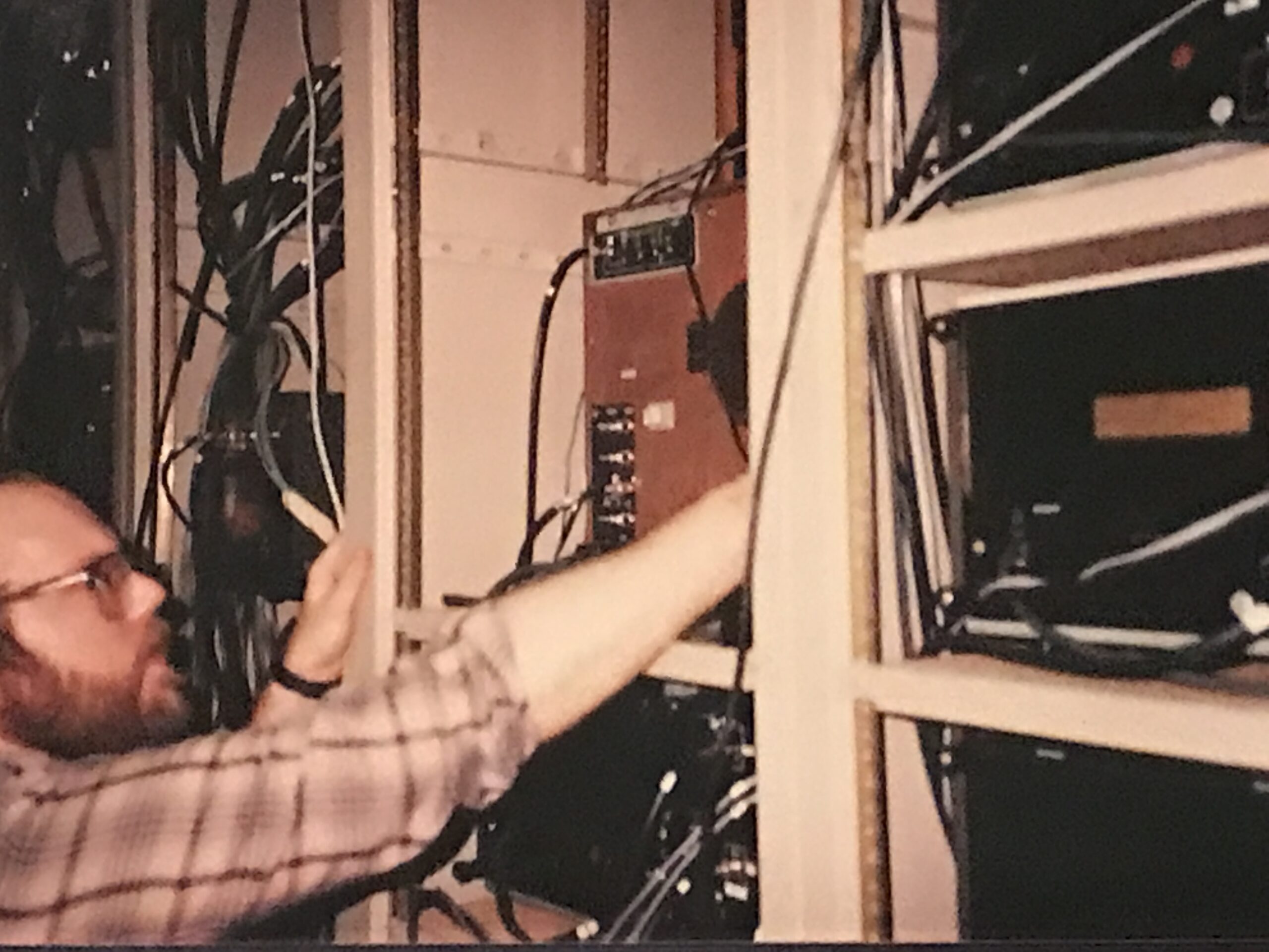
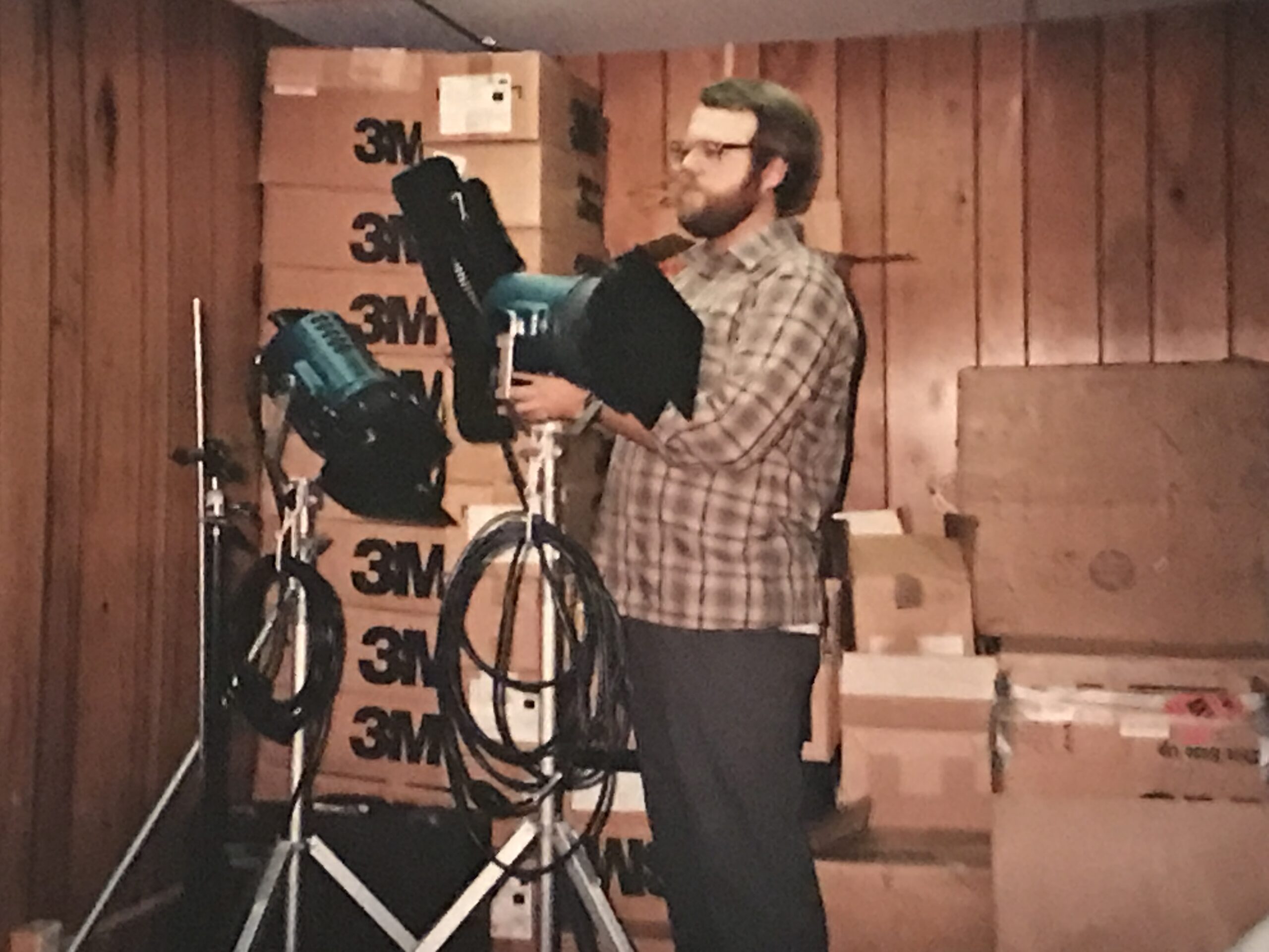
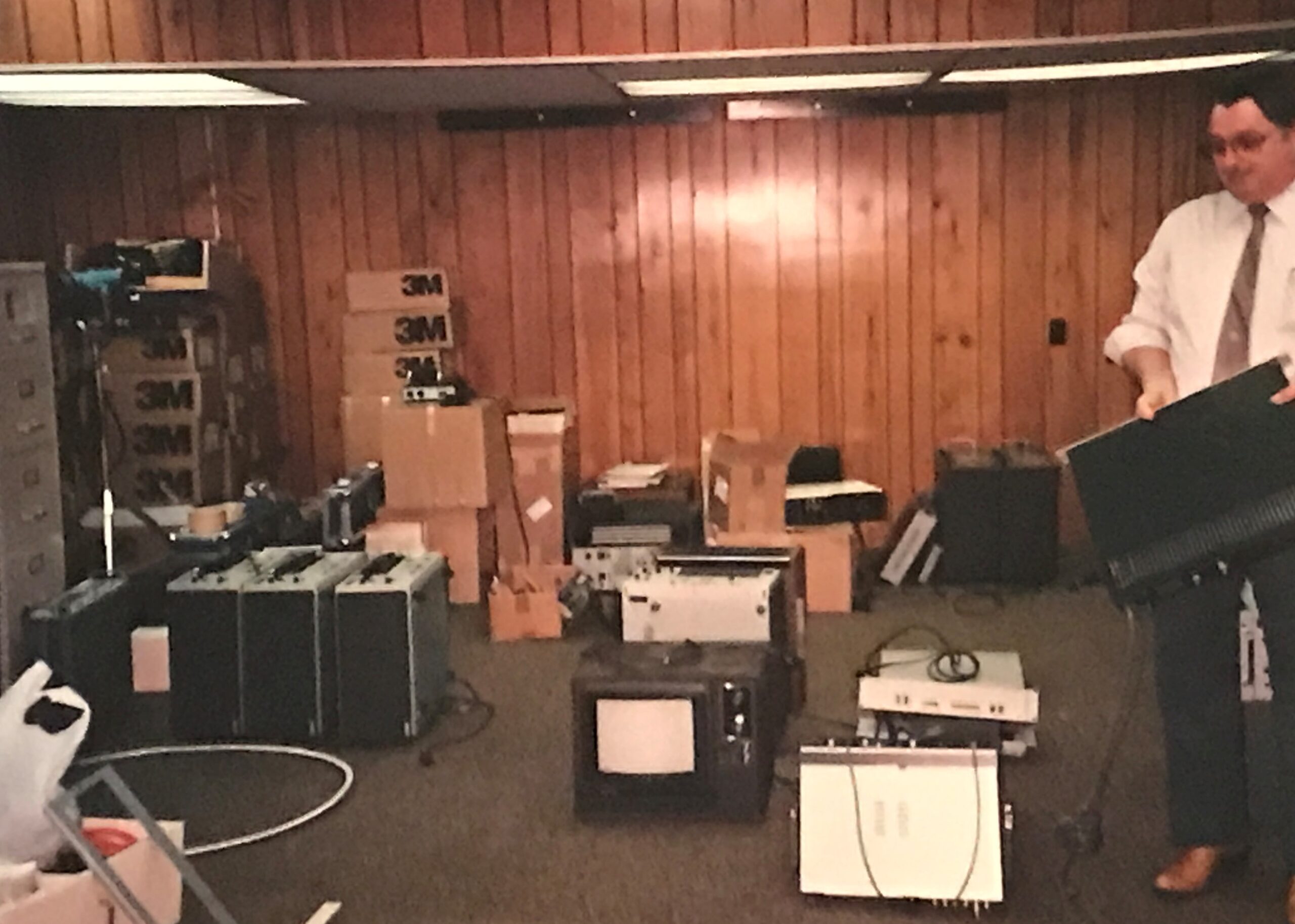
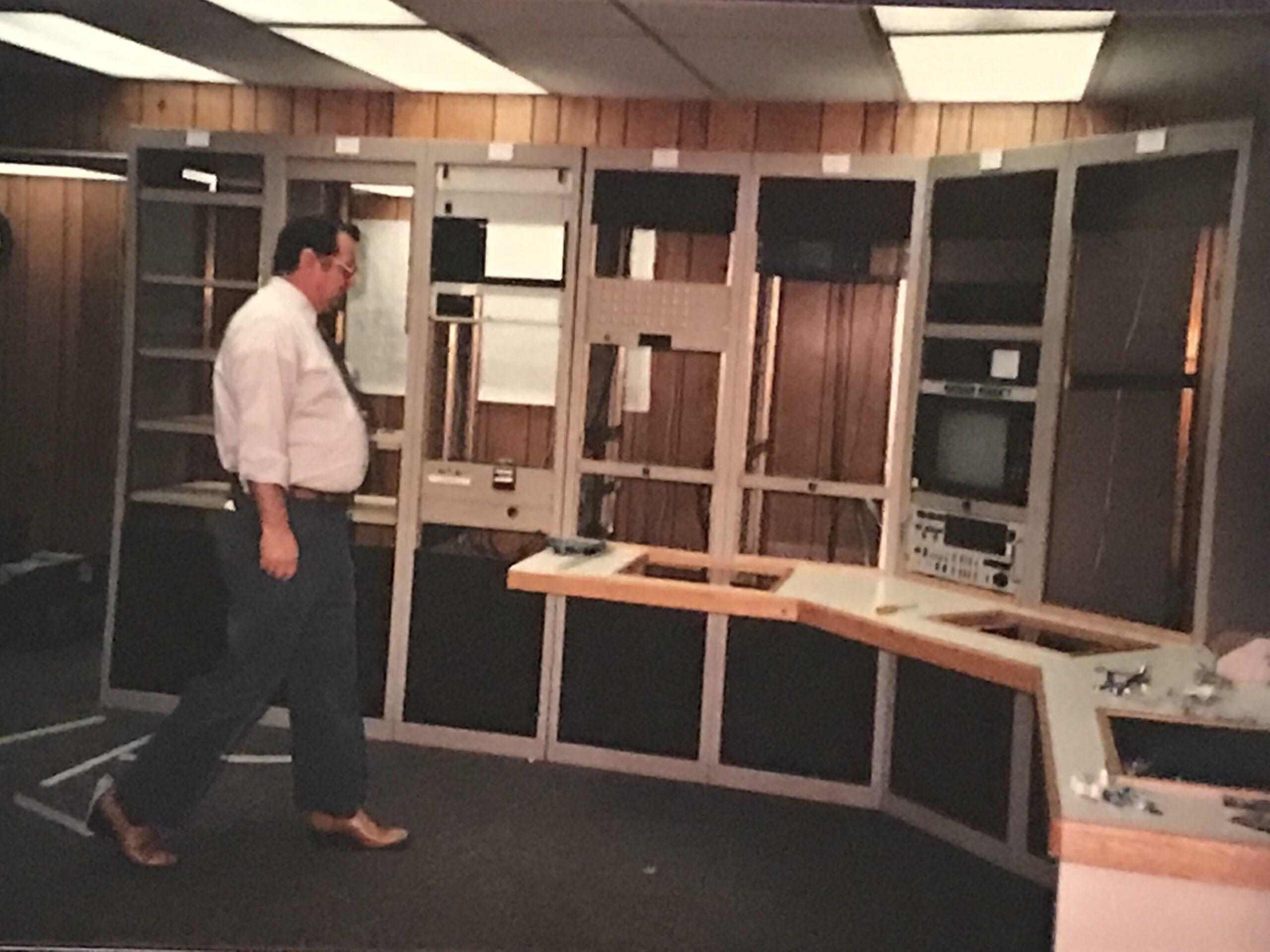
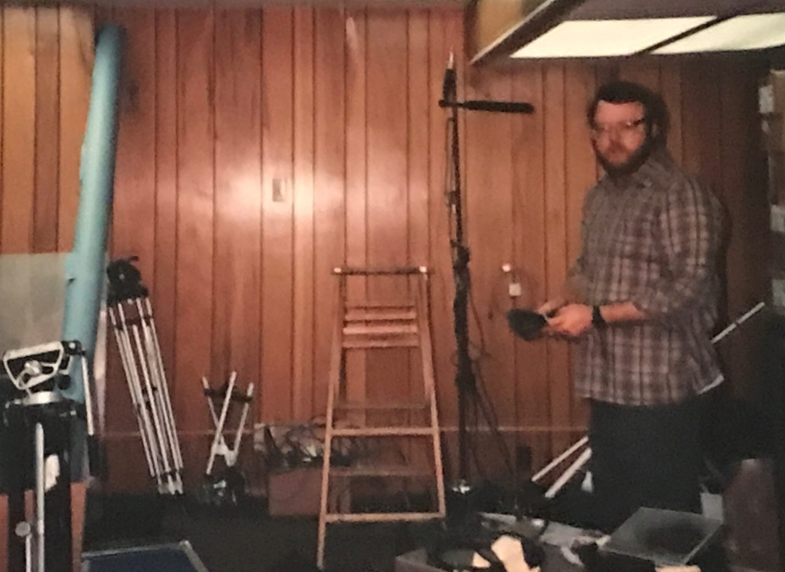
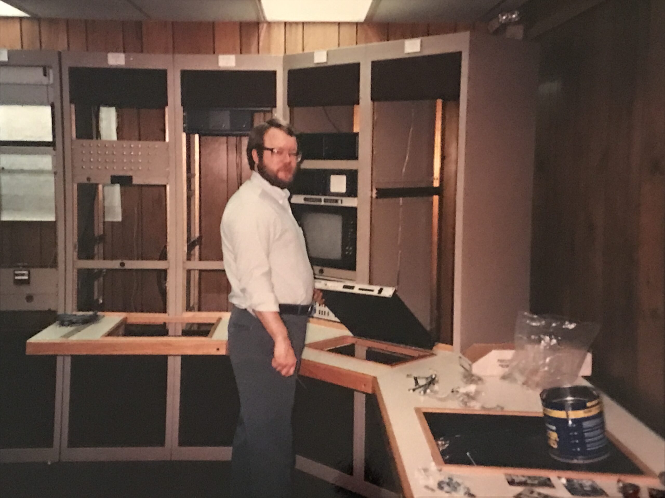
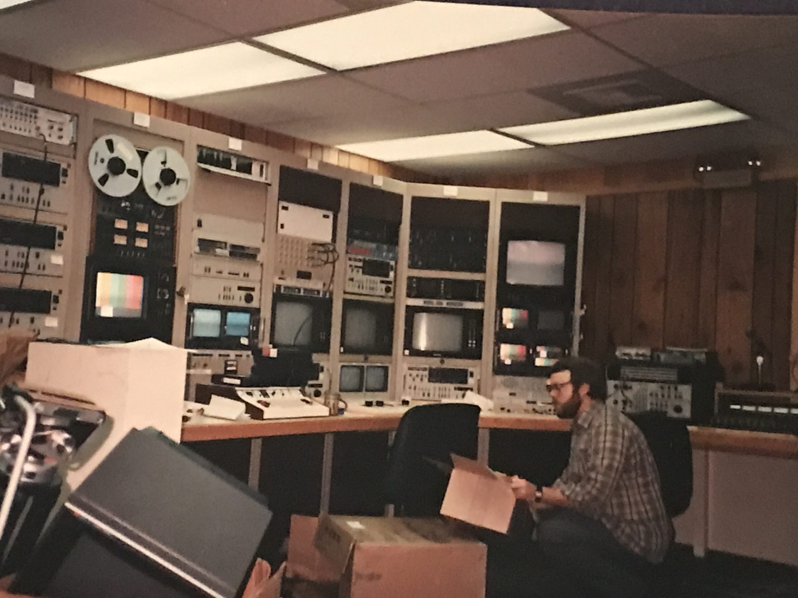
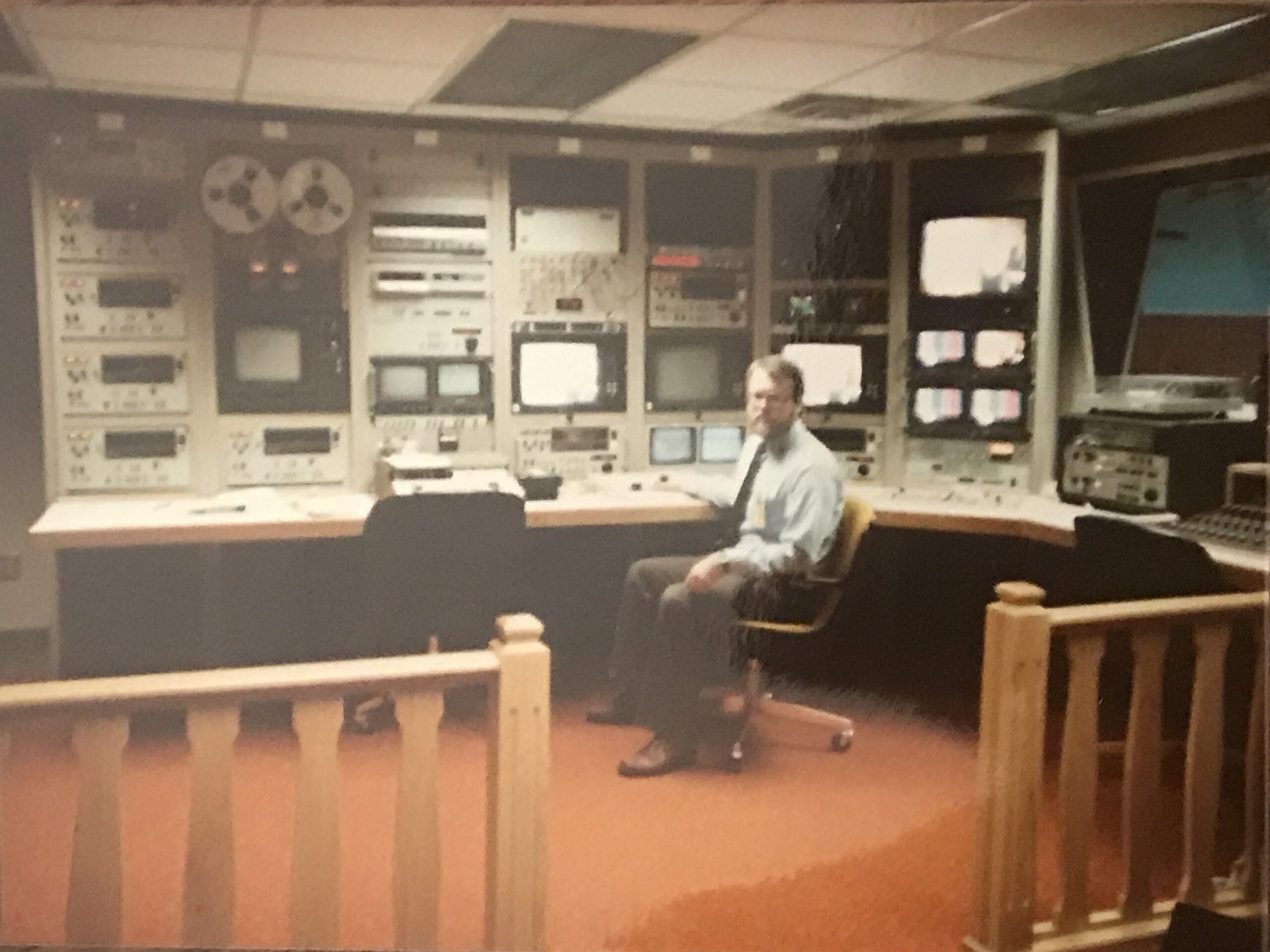
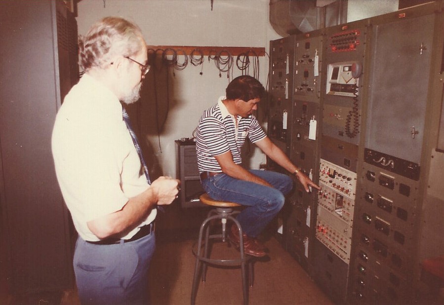
Below are photos of the Anchorage International Flight Service Station (IFSS) video lab reassembly in 1987.
Submitted by Marshall Severson
The Video lab was originally located at Anchorage ARTCC (ZAN). In 1987 we moved it to the Anchorage I/FSS basement, where we made training tapes using 3/4 inch video. I was told that the original equipment cost $500,000. It was a full video studio with cameras, recorders, mixers, graphic equalizers, dubbers, editors, etc. I believe most of the tapes were lost after ANC FSS decommissioning. There are a few tapes still out there. In fact, I dug up a copy of a DF Approach to Talkeetna a few years ago after having it buried among my personal VHS tapes and now digital. We did pilot briefing tapes as well as an FSS modernization tape with Dick Mathews, introducing the AFSS facility. It was strictly a collateral duty, and there was no staff assigned to the video lab.
I kept at making videos at the Regional Office (RO), and the best was when we brought a former ANC FSS guy, Dave Campbell, in from retirement to do an 8-part series on Alaska VFR Routes (and emergency services) in 2010. This was long after we had a studio, partly because people still remembered his original local area knowledge video taped at ZAN studio, which was lost. The replacement video was done in the Air Traffic Division conference room in Anchorage. Dave got an award from the AAL Regional Administrator Bob Lewis for doing the videos.
Here is a sample that is posted on FAA TV: https://www.faa.gov/TV/?mediaId=204
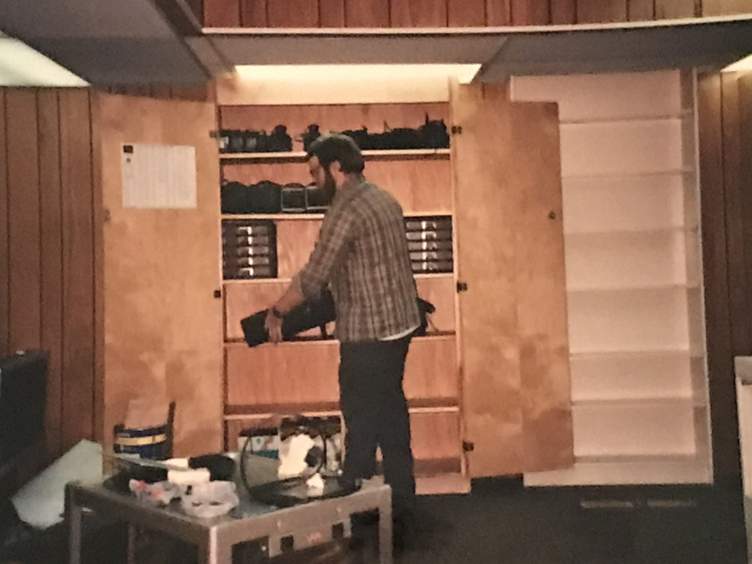
Video Lab Reassembly ANC FSS, Marshall Severson
 Video Lab Reassembly ANC FSS, Marshall Severson
Video Lab Reassembly ANC IFSS, Marshall Severson

Video Lab Reassembly ANC IFSS, Marshall Severson
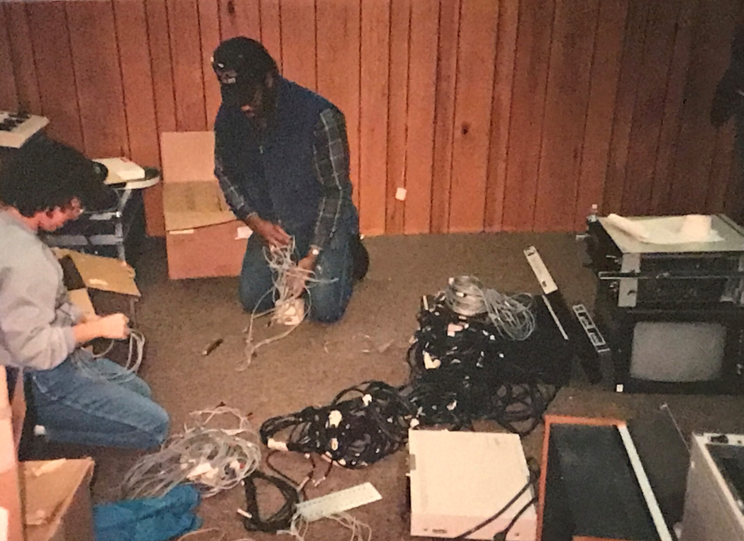
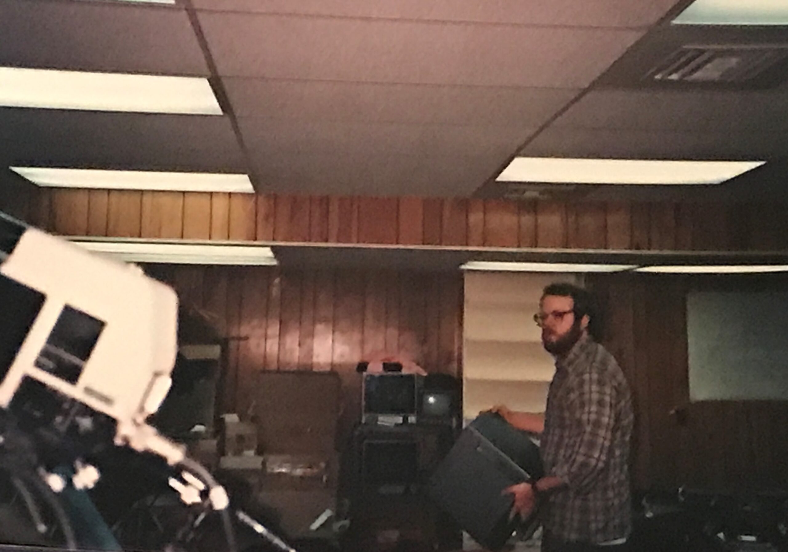
Video Lab Reassembly ANC FSS Airway Facilities (AF), 1987
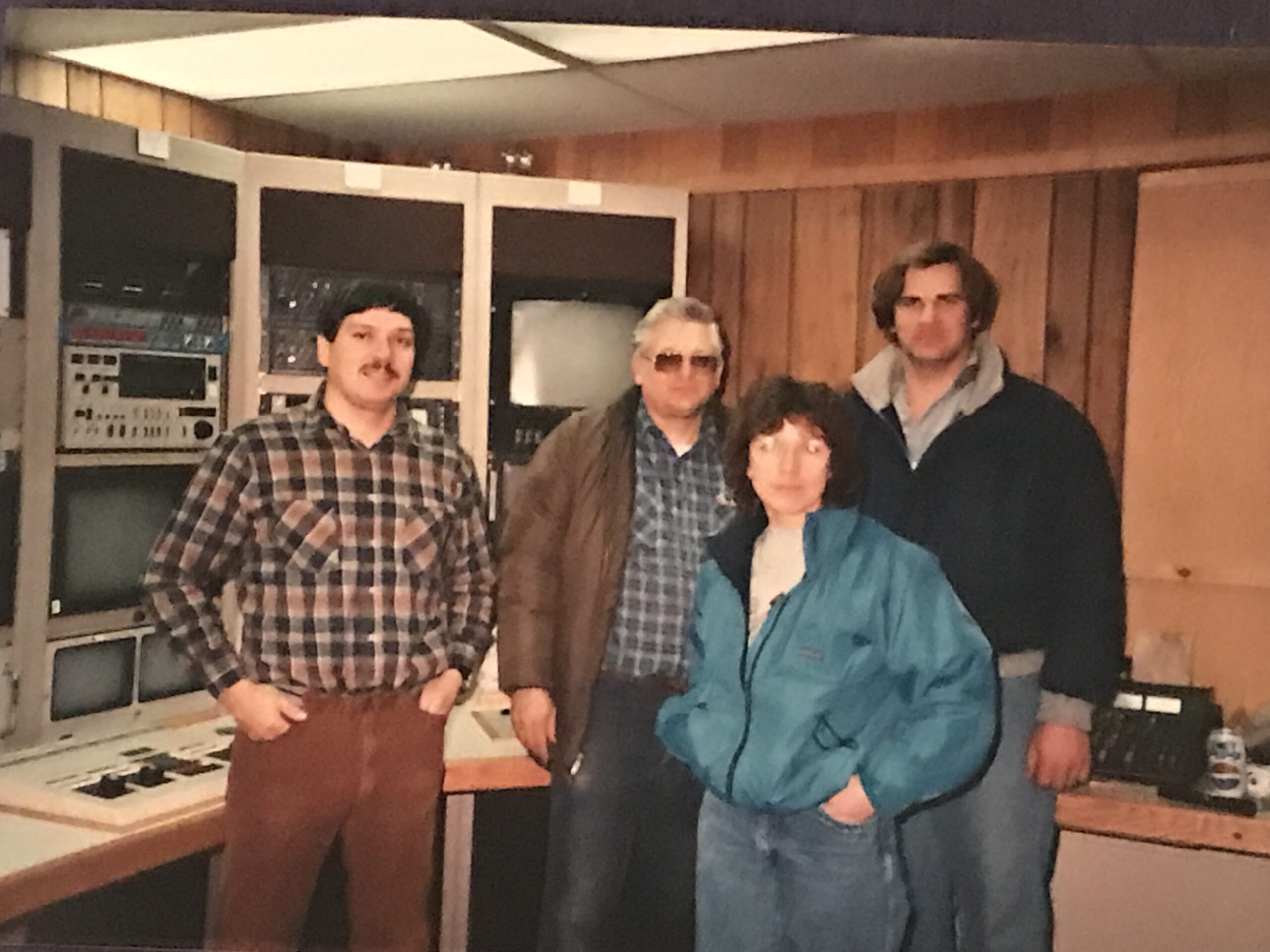
Video Lab Reassembly ANC IFSS, Jim Burton
Video Lab Reassembly ANC IFSS, Jim Burton
Video Lab Reassembly ANC IFSS.
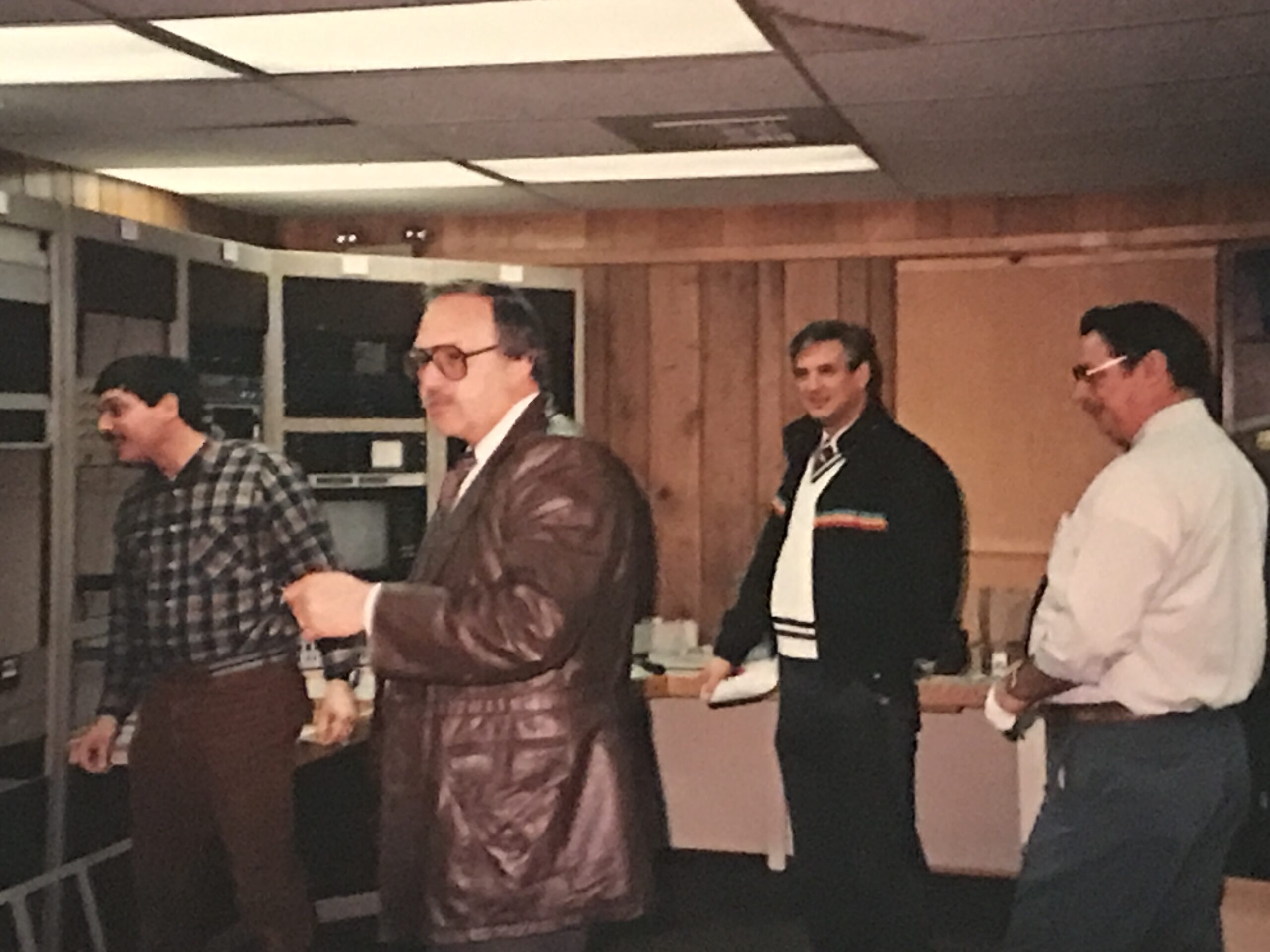
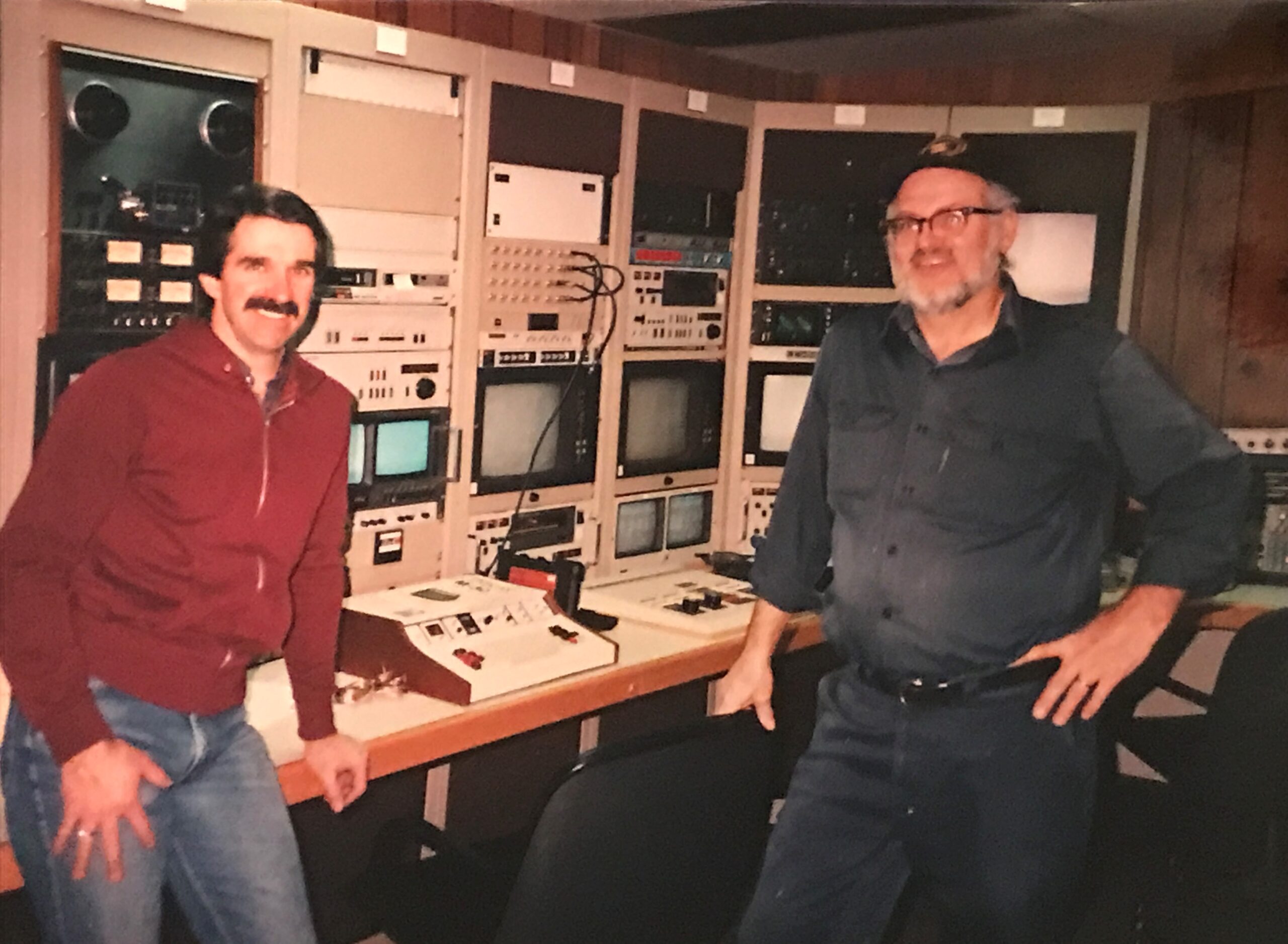
L-R Bill Wuttke, Charlie Muhs, Hal Eward, and Jim Burton
Video Lab Reassembly ANC IFSS, Jim Burton
Video Lab Reassembly ANC IFSS
Far Left Bill Wuttke and AF Team, 1987
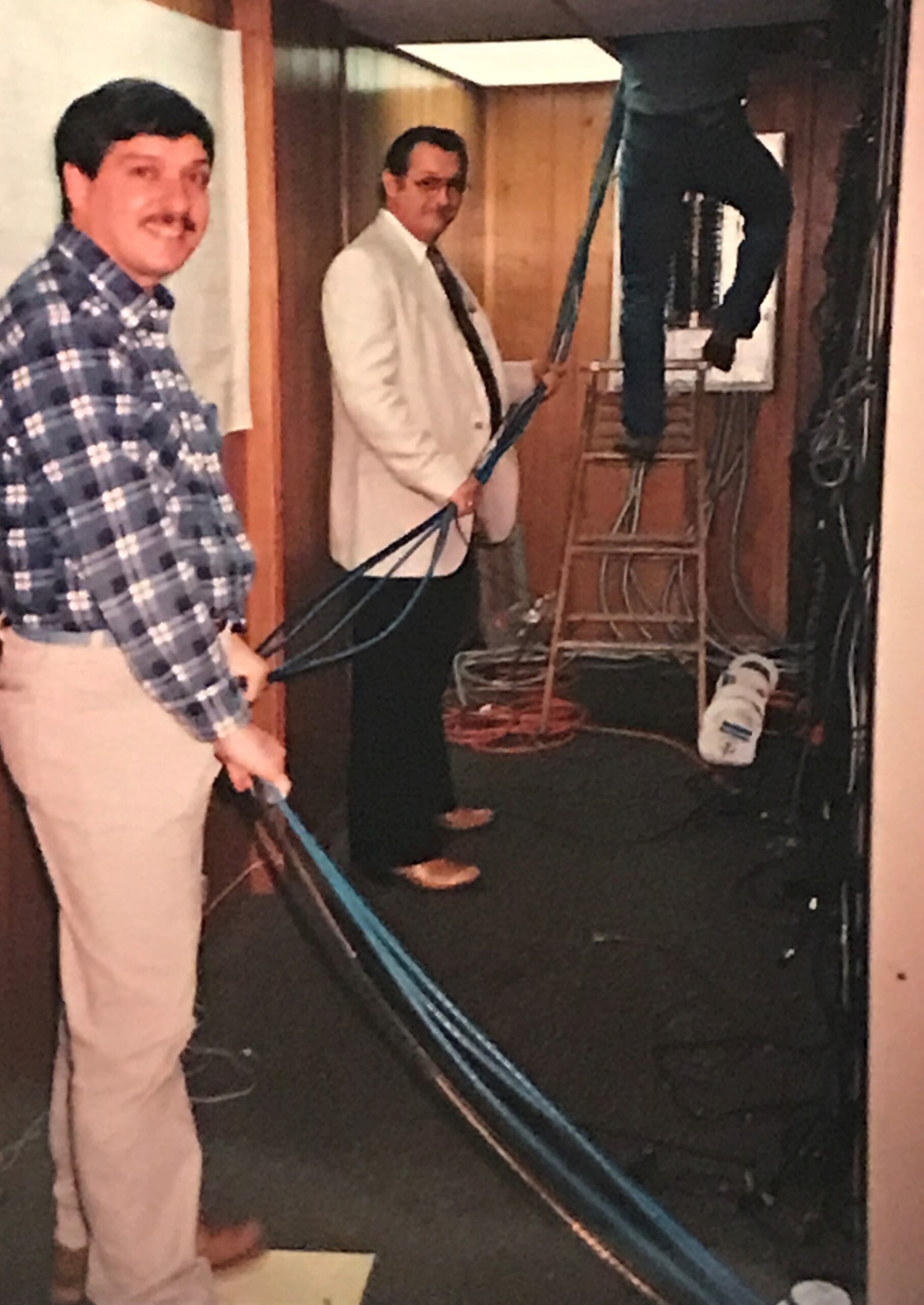
Video Lab Reassembly ANC FSS, Bill Wuttke and Jim Burton, 1987
Video Lab Reassembly ANC IFSS, Marshall Severson
Video Lab Reassembly ANC IFSS, Marshall Severson, 1987
Video Lab Reassembly ANC IFSS, Marshall Severson
Video Lab Reassembly ANC IFSS, Marshall Severson, 1987
Video Lab Reassembly ANC IFSS, Marshall Severson
Video Lab Reassembly ANC IFSS Airways Facility (AF), 1987
Video Lab at Anchorage Center (ZAN), 1985, Marshall Severson
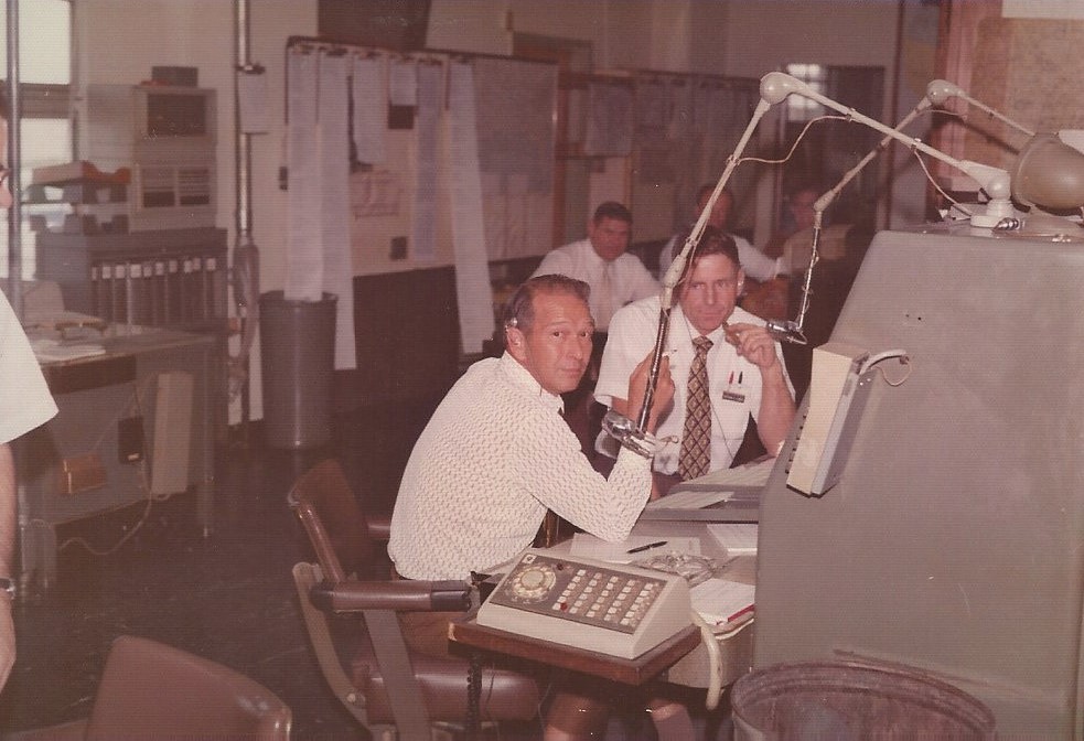
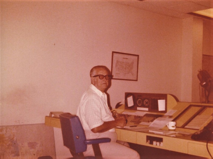
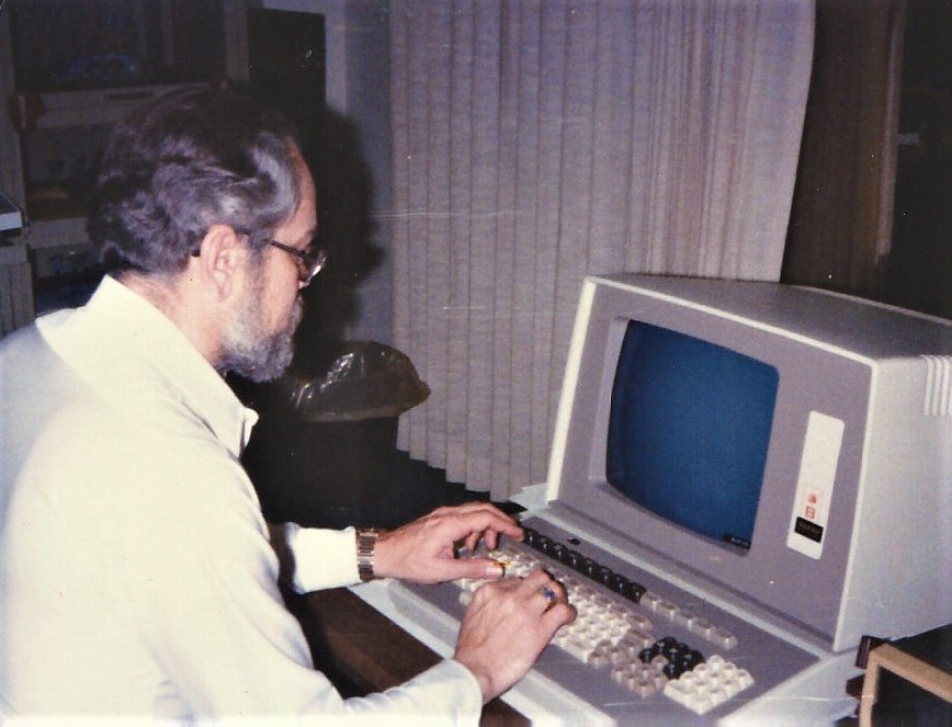
Tucumcari FSS (TCC), New Mexico. mid 1980’s
Person unknown
Tucumcari FSS (TCC), New Mexico. mid 1980’s
Bill Guthery
Tucumcari FSS (TCC), New Mexico. mid 1980’s
Person unknown
Tucumcari FSS (TCC), New Mexico. mid 1980’s
Bill Guthery (foreground)
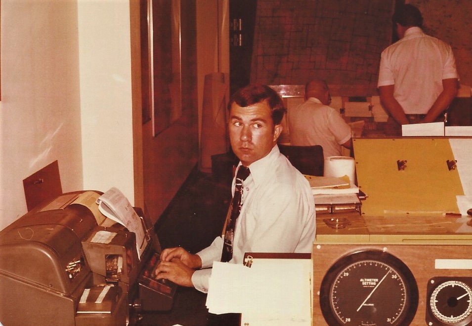
Tucumcari FSS (TCC), New Mexico. mid 1980’s
Operations area
Tucumcari FSS (TCC), New Mexico. mid 1980’s
Inflight position
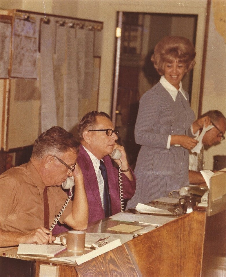
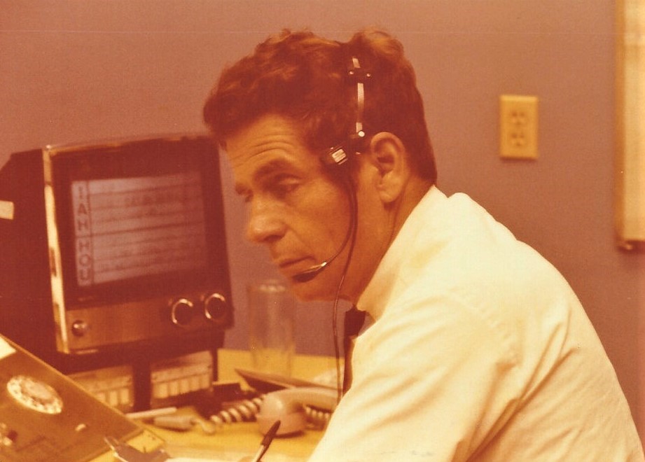
Houston FSS (HOU), Texas, mid 1960’s
Inflight, personnel unknown.
All photos taken by Bill Guthery and submitted by Denise Guthery.
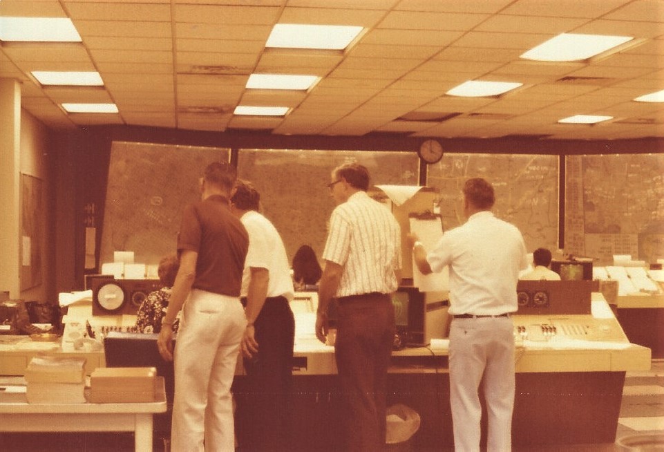
Inflight, person unknown.
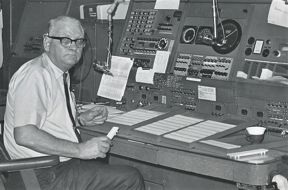
Houston FSS (HOU), Texas, mid 1960’s
Bill Guthery
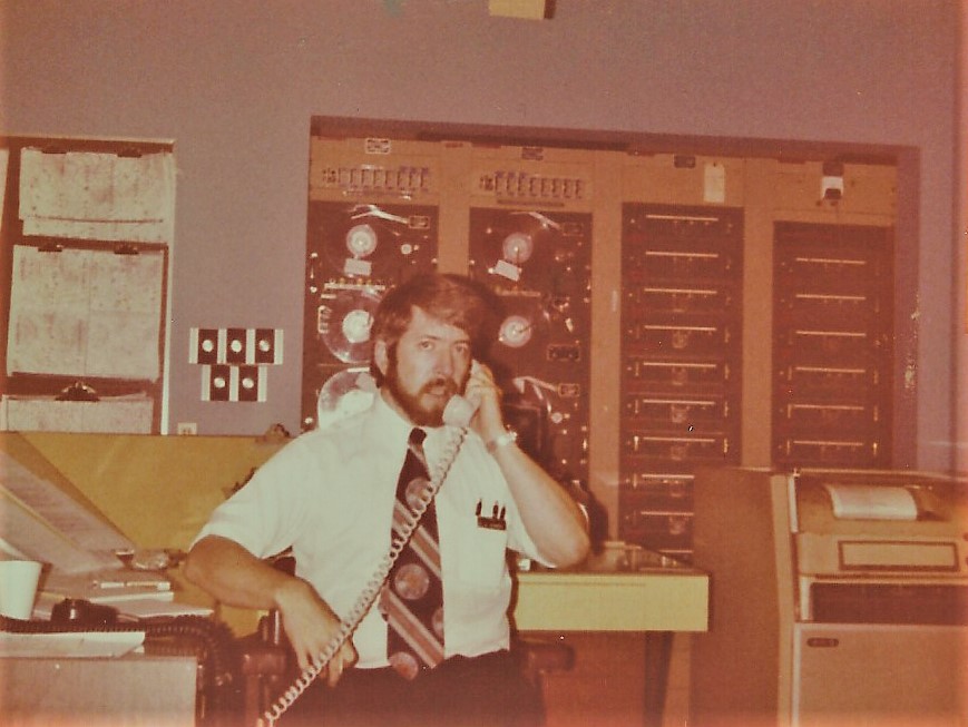
Houston FSS (HOU), Texas, March 21, 1977
Gary Shaw at teletype, above.
Houston FSS (HOU), Texas, March 21, 1977
Nathan Curry.
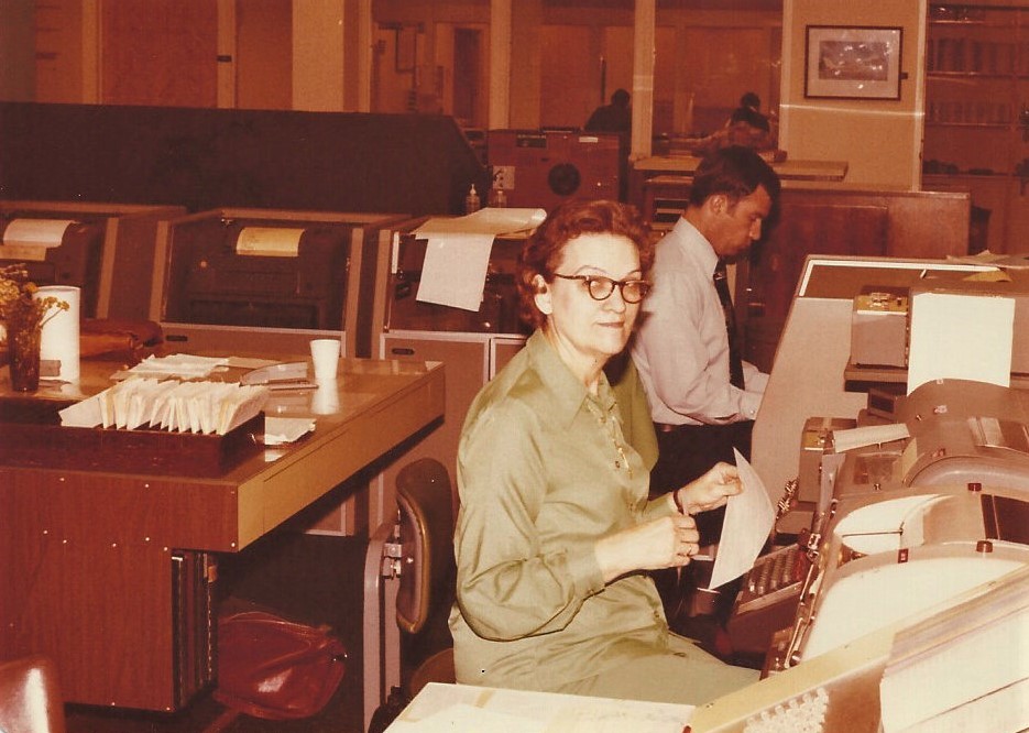
Houston FSS (HOU), Texas, March 21, 1977
Elvera Lee at the teletype.
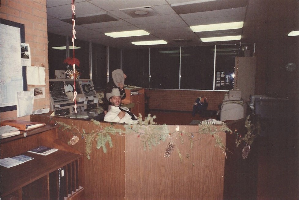
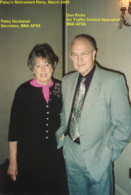
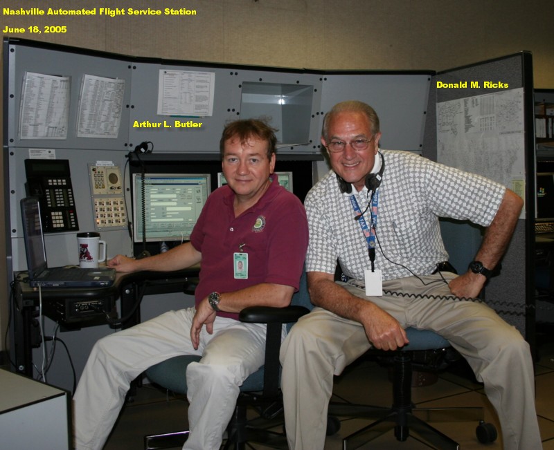
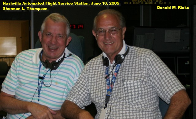
Photos submitted by Don Ricks
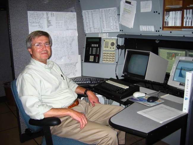
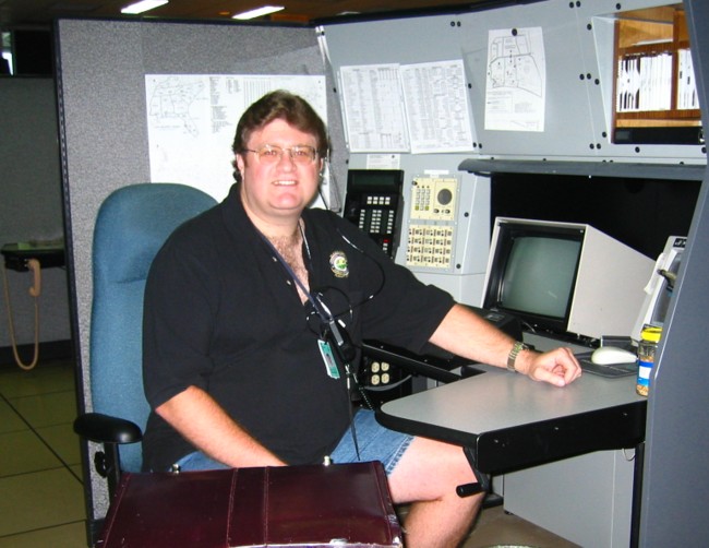 Ken Fix
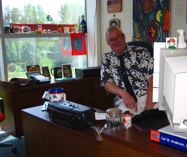
 Robert (Bob) Coffee, Manager, September 2004. Bob took over when Richard Post retired
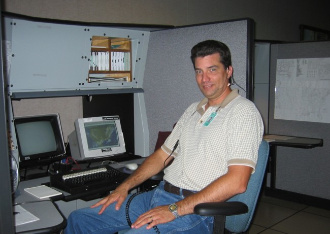 Wayne A. Catt
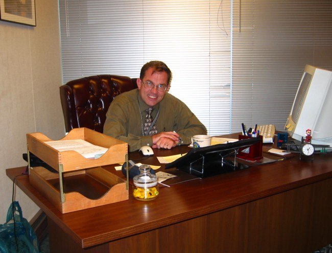
Carl W. Anderson, Assistant Manager, September 2004
 Don Morris
 Bethel FSS (BET), Alaska in the 1970s
Employees, Aurora Campbell and Jerry Kutch